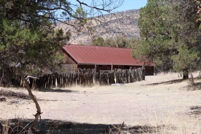
Near Elfrida in Cochise County, Arizona — The American Mountains (Southwest)
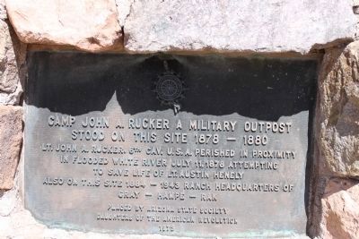
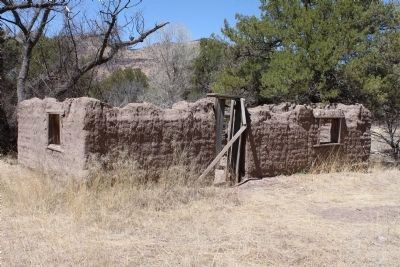
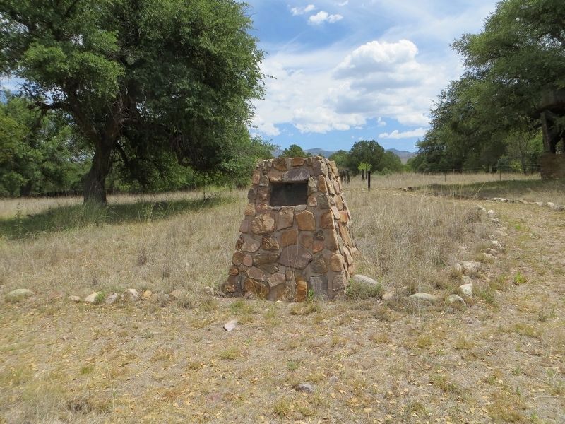
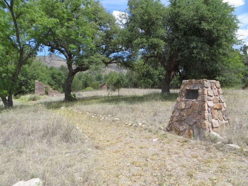
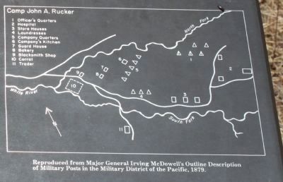
Camp John A. Rucker A Military Outpost
Stood on This Site 1878 - 1880
Lt. John A. Rucker, 6th Cav. U.S.A. perished in proximity in flooded White River July 11, 1878 attempting to save life of Lt. Austin Henely
Also on this site 1884-1943 ranch headquarters of
Erected 1973 by Arizona State Society Daughters of the American Revolution.
Topics and series. This historical marker is listed in these topic lists: Forts and Castles • Settlements & Settlers. In addition, it is included in the Daughters of the American Revolution series list. A significant historical date for this entry is July 11, 1425.
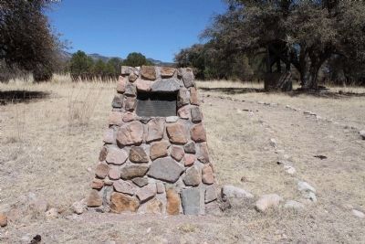
Location. 31° 45.249′ N, 109° 21.519′ W. Marker is near Elfrida, Arizona, in Cochise County. Marker can be reached from North Tex Canyon Road, ¼ mile east of East Rucker Canyon Road, on the left when traveling east. Touch for map. Marker is in this post office area: Elfrida AZ 85610, United States of America. Touch for directions.
Other nearby markers. At least 6 other markers are within 9 miles of this marker, measured as the crow flies. How Camp Rucker received its Name (here, next to this marker); Camp Rucker and the Indian Scouts (a few steps from this marker); Old Camp Rucker Ranch (within shouting distance of this marker); Camp Rucker Timeline (within shouting distance of this marker); Camp Rucker Bakery and Commissary (within shouting distance of this marker); John Ringo (approx. 8½ miles away).
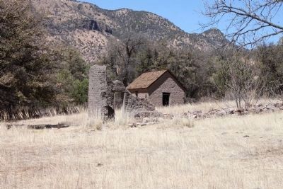
More about this marker. The site no longer has any signs on the road that indicate its existence. The National Park Service removed the signs and deferred maintenance of the area as a result of the budget cuts in 2009. The camp is approximately 1/4 mile east of the intersection of Rucker Canyon Road and North Tex Canyon road. The camp is on the North side of the road.
Also see . . .
1. John Anthony Rucker – First Lieutenant, United States Army. Arlington National cemetery website entry (Submitted on November 4, 2022, by Larry Gertner of New York, New York.)
2. Camp John A. Rucker Military Outpost. AZ DAR Historic and Commemorative Markers website entry (Submitted on May 23, 2021, by Larry Gertner of New York, New York.)
3. Camp Rucker. Ghost Towns website entry:
First known as Camp Supply it housed a mounted infantry unit. Name was changed in 1878 after the drowning of Lt. Rucker. (Submitted on April 29, 2011.)
Photographed By James Nuti, April 11, 2011
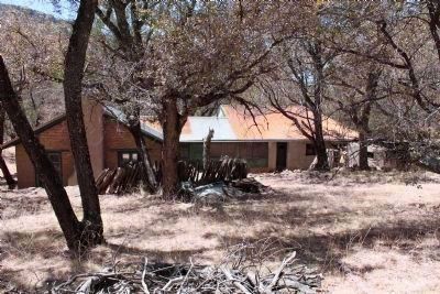
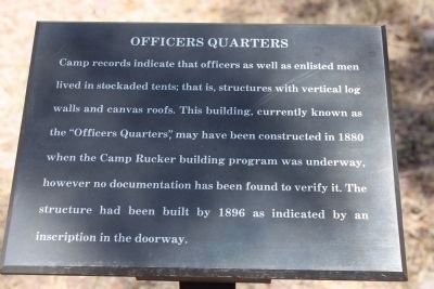
3. Sign for Officers Quarters
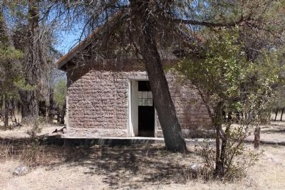
Camp records indicate that officers as well as enlisted men lived in stockaded tents, that is, structures with vertical log walls and canvas roofs. This building, currently known as the “Officers Quarters” may have been constructed in 1880 when the Camp Rucker building program was underway, however no documentation has been found to verify it. The structure had been built by 1896 as indicated by an inscription in the doorway.
Credits. This page was last revised on November 4, 2022. It was originally submitted on April 29, 2011, by James Nuti of Bisbee, Arizona. This page has been viewed 1,404 times since then and 58 times this year. Last updated on April 30, 2011, by James Nuti of Bisbee, Arizona. Photos: 1, 2. submitted on April 29, 2011, by James Nuti of Bisbee, Arizona. 3, 4, 5, 6. submitted on April 30, 2011, by James Nuti of Bisbee, Arizona. 7, 8. submitted on June 6, 2020, by Bill Kirchner of Tucson, Arizona. 9, 10, 11. submitted on April 30, 2011, by James Nuti of Bisbee, Arizona. • Syd Whittle was the editor who published this page.
