Waterford in Loudoun County, Virginia — The American South (Mid-Atlantic)
How it Works
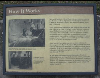
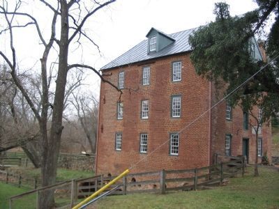
This mill housed a set of machinery that processed raw material into finished products. It produced flour from grain, thus it was a gristmill. The milling complex also powered a saw and at one time a cider mill.
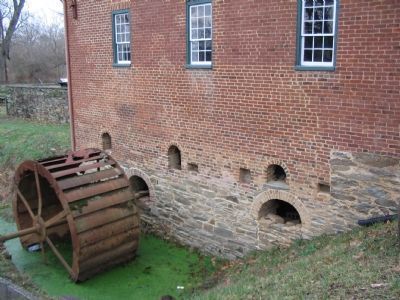
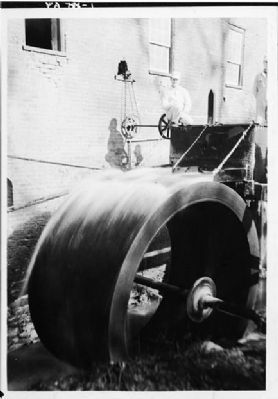
Amos Janney's small original mill was powered directly from the flow of Catoctin Creek. To achieve greater and more consistent power, Mahlon Janney dammed the stream and diverted the water from behind the dam through a mile-long channel or headrace, delivering it through a sluice and gates to the top of a large wooden wheel. The weight of the falling water turned the wheel. A series of gears and belts transferred the power of the rotating wheel to the mill and sawing machinery.
Grain delivered for milling was first screened and cleaned, then weighed. Initially, the Waterford Mill ground wheat to flour between large grooved burrstones. It is believed that the machinery was of an Oliver Evans design, which used as series of cups, belts and wheels, all operating from one water wheel, to pass the grain through the mill.
In 1885, roller-process machinery was installed. That more advanced process used a gradual reduction method, passing the grain through a series of rollers until the flour was of the desired fineness. The flour was then bolted, or sieved, to remove any bran particles. The final product was packed in barrels or bags and hauled to market.
Topics. This historical marker is listed in this topic list: Industry & Commerce. A significant historical year for this entry is 1885.
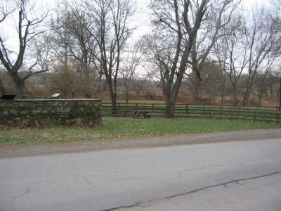
Location. 39° 11.432′ N, 77° 36.853′ W. Marker has been reported damaged. Marker is in Waterford, Virginia, in Loudoun County. Marker is at the intersection of Old Wheatland Road (County Route 698) and Bond Street, on the right when traveling east on Old Wheatland Road. Touch for map. Marker is in this post office area: Waterford VA 20197, United States of America. Touch for directions.
Other nearby markers. At least 8 other markers are within walking distance of this location. The Waterford Mill (here, next to this marker); Waterford - An Old Mill Town (a few steps from this marker); Waterford (within shouting distance of this marker); Independent Loudoun Virginia Rangers (within shouting distance of this marker); Bond Street Barn, Waterford (about 300 feet away, measured in a direct line); Mill to Market (approx. 0.2 miles away); The Phillips Farm (approx. 0.2 miles away); Mutual Fire Insurance Company of Loudoun County (approx. 0.2 miles away). Touch for a list and map of all markers in Waterford.
More about this marker. Two photos are on the left side of the marker:
Wheel in Operation This photograph was taken by the Historic American Buildings Survey in 1937; The mill ceased operation two years later, in 1939.
Roller
Photographed By Devry Becker Jones (CC0), March 6, 2021
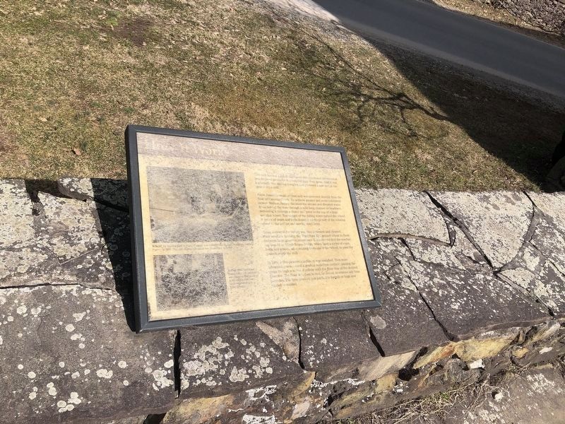
2. How it Works Marker
Unfortunately, the marker has experienced significant weather damage.
Also see . . . The Old Mill of Waterford. Waterford History website entry (Submitted on December 16, 2007, by Craig Swain of Leesburg, Virginia.)
Credits. This page was last revised on April 9, 2022. It was originally submitted on December 16, 2007, by Craig Swain of Leesburg, Virginia. This page has been viewed 739 times since then and 11 times this year. Photos: 1. submitted on December 16, 2007, by Craig Swain of Leesburg, Virginia. 2. submitted on March 6, 2021, by Devry Becker Jones of Washington, District of Columbia. 3, 4, 5, 6. submitted on December 16, 2007, by Craig Swain of Leesburg, Virginia.
