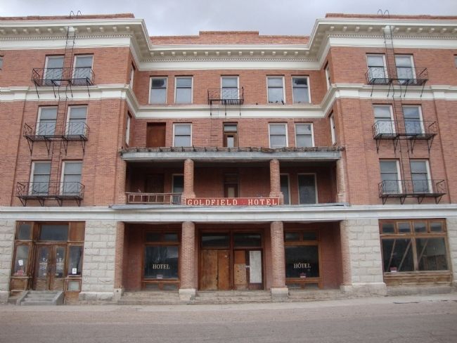
Goldfield in Esmeralda County, Nevada — The American Mountains (Southwest)
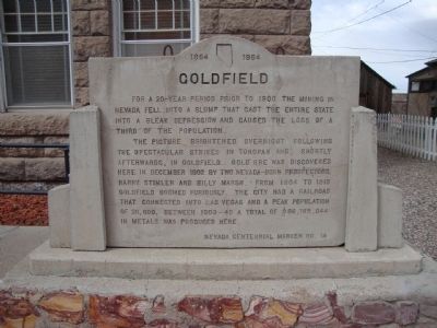
Goldfield
The picture brightened overnight following the spectacular strikes in Tonopah and, shortly afterwards, in Goldfield. Gold ore was discovered here in December 1902 by two Nevada-born prospectors, Harry Stimler and Billy Marsh. From 1904 to 1918 Goldfield boomed furiously. The city had a railroad that connected into Las Vegas and a peak population of 20,000. Between 1903 - 40 a total of $86,765,044 in metals was produced here.
Erected by Nevada Centennial Commission. (Marker Number 14.)
Topics. This historical marker is listed in these topic lists: Industry & Commerce • Settlements & Settlers. A significant historical month for this entry is December 1902.
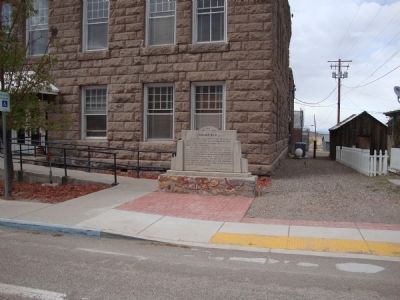
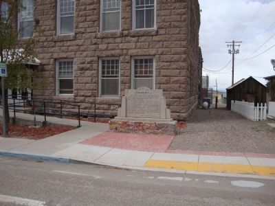
Location. 37° 42.461′ N, 117° 14.004′ W. Marker is in Goldfield, Nevada, in Esmeralda County. Marker is on Crook Avenue (U.S. 95) north of Franklin Avenue, on the right when traveling north. Touch for map. Marker is in this post office area: Goldfield NV 89013, United States of America. Touch for directions.
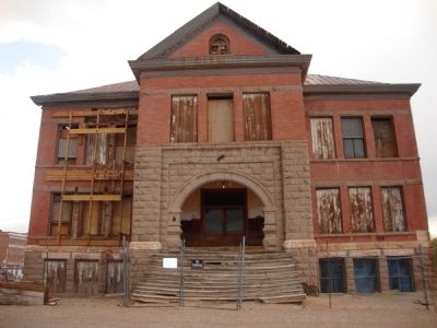
Other nearby markers. At least 8 other markers are within walking distance of this marker. Gans Vs. Nelson (within shouting distance of this marker); Goldfield Community Center (within shouting distance of this marker); Consolidated Telephone – Telegraph Company Building (about 700 feet away, measured in a direct line); The Gables (about 700 feet away); California Beer Hall Warehouse (approx. ¼ mile away); Where’s Gran Pah? (approx. ¼ mile away); Goldfield’s Railroads (approx. ¼ mile away); a different marker also named Goldfield (approx. ¼ mile away). Touch for a list and map of all markers in Goldfield.
Also see . . . New Amended Text for Marker. The Nevada State Historic Preservation Office (SHPO) recently updated the text of the roughly 260 state historical markers in Nevada. The Nevada SHPO placed the amended text of each individual marker on its website and will change the actual markers in the field as funding allows. Minor changes have been made to the marker for grammar and readability. The marker has been amended to state that Goldfield was Nevada's largest community at the time of its peak population of 20,000. The link will take you to the Nevada SHPO page for the marker with the amended text. (Submitted on November 12, 2013, by Duane Hall of Abilene, Texas.)
Credits. This page was last revised on October 27, 2020. It was originally submitted on May 23, 2011. This page has been viewed 809 times since then and 33 times this year. Photos: 1, 2, 3, 4, 5. submitted on May 23, 2011, by Mh of Las Vegas, Nevada. • Syd Whittle was the editor who published this page.
