Charleston in Kanawha County, West Virginia — The American South (Appalachia)
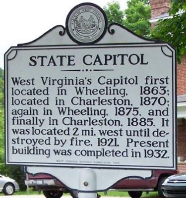
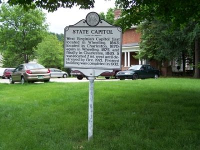
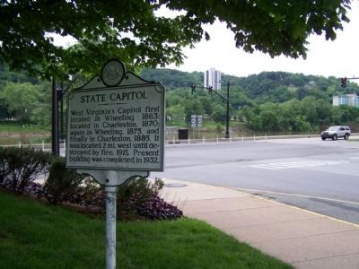
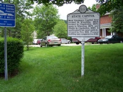
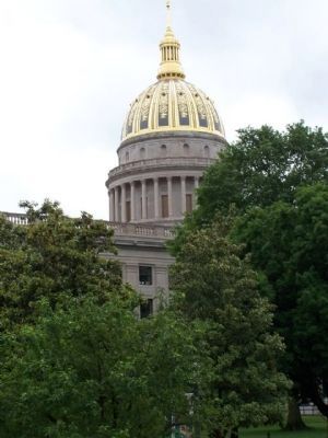
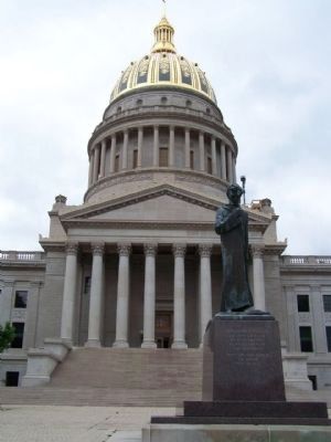
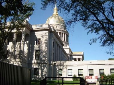
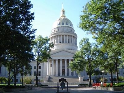
State Capitol
Erected 1965 by West Virginia Historic Commission.
Topics and series. This historical marker is listed in this topic list: Notable Buildings. In addition, it is included in the West Virginia Archives and History series list. A significant historical year for this entry is 1863.
Location. 38° 20.193′ N, 81° 36.966′ W. Marker is in Charleston, West Virginia, in Kanawha County. Marker is on Greenbrier Street (West Virginia Route 114) near Kanawha Blvd E (U.S. 60), on the right when traveling north. Touch for map. Marker is in this post office area: Charleston WV 25311, United States of America. Touch for directions.
Other nearby markers. At least 8 other markers are within walking distance of this marker. The 35th Star (within shouting distance of this marker); Executive Mansion (about 400 feet away, measured in a direct line); 45th US Colored Infantry (about 500 feet away); Union Civil War Monument (about 700 feet away); The Restoration Chestnut (about 700 feet away); Slavery in West Virginia (about 800 feet away); Limestone • Sandstone • Silica (about 800 feet away); Coal (about 800 feet away). Touch for a list and map of all markers in Charleston.
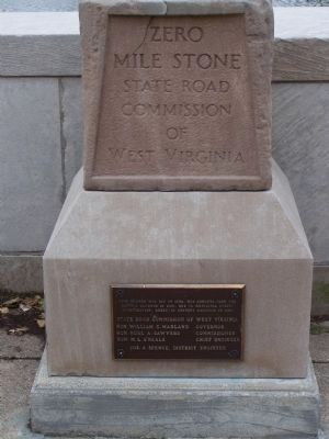
Regarding State Capitol. Sectional differences in western and eastern Virginia fueled resentment and political divisions before the Civil War. The divisions soon became irrevocable after the convention in Richmond voted on April 17, 1861, for Virginia to secede and join the Confederacy. Far to the north of here, Wheeling,delegates of Virginia's western counties convened in June. They first reorganized and restored the loyal government of Virginia, and the then subsequently decided to create a new, loyal state from Virginia's western counties. In the midst of the conflict, President Abraham Lincoln signed a bill creating West Virginia. On June 20, 1863, West Virginia became the only state born of the Civil War.
Wheeling became the state capitol - but not for long. In 1870, the seat of government moved south to
Charleston after former Confederates regained the right to vote. Lawmakers, however, concidered Charleston isolated and provincial (with a population of only 3,162), so the capitol returned to Wheeling, which had 19,280 residents. A statewide referendum eventually settled the issue, and Charleston became the permanent capitol in 1885.(West Virginia Civil War Trails)
Related marker. Click here for another marker that is related to this marker. the relationship, study marker shown.
Photographed By Mike Stroud, May 18, 2011
7. State Capitol
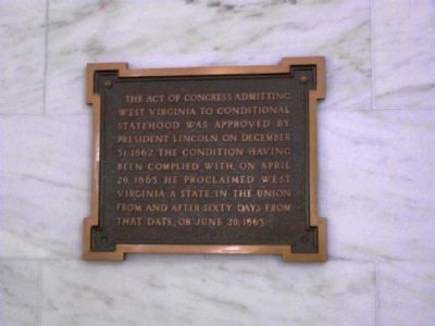
West Virginia to conditional
statehood was approved by
President Lincoln on December
31, 1862. The condition having
been completed with, on April
20, 1863. He proclaimed West
Virginia a state in the union
from and after sixty days from
that date, or June 20, 1863.
Photographed By Mike Stroud, May 18, 2011
8. State Capitol
Photographed By Mike Stroud, May 18, 2011
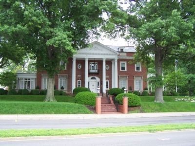
11. State Capitol , Executive Mansion
In 1924, ground was broken for this magnificent Georgian colonial style mansion, official home of the State's governors since 1926. Designed by W. F. Martens, it was constructed of colonial Harvard brick at an initial cost of $203,000.
Credits. This page was last revised on August 12, 2021. It was originally submitted on May 24, 2011, by Mike Stroud of Bluffton, South Carolina. This page has been viewed 718 times since then and 21 times this year. Photos: 1, 2, 3, 4, 5, 6, 7, 8. submitted on May 24, 2011, by Mike Stroud of Bluffton, South Carolina. 9, 10. submitted on October 5, 2009, by Michael Sean Nix of Spartanburg, South Carolina. 11, 12, 13, 14, 15. submitted on May 25, 2011, by Mike Stroud of Bluffton, South Carolina. 16. submitted on May 24, 2011, by Mike Stroud of Bluffton, South Carolina. 17. submitted on February 12, 2013, by Mike Stroud of Bluffton, South Carolina.
