Winamac in Pulaski County, Indiana — The American Midwest (Great Lakes)
Pulaski County
Organized May 1839
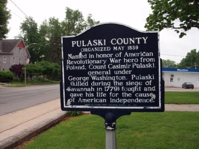
Photographed by Courtesy:: Marilyn S. Wolf, May 22, 2011
1. Pulaski County (Indiana) Marker
(Click on any of these photos to see the details.)
Erected 1976 by Pulaski County Historical Society.
Topics. This historical marker is listed in this topic list: Settlements & Settlers.
Location. Marker has been reported missing. It was located near 41° 3.065′ N, 86° 36.172′ W. Marker was in Winamac, Indiana, in Pulaski County. It was on South Monticello Street (U.S. 35) south of East Main Street, on the right when traveling south. Located on the east lawn of the Pulaski County Courthouse in Winamac, Indiana. Touch for map. Marker was at or near this postal address: 112 East Main Street, Winamac IN 46996, United States of America. Touch for directions.

Regionally, this marker was in Northern Indiana. It was also in the American Midwest and in the Corn Belt. Globally, it was in North America, the Western Hemisphere, the Western World, and the Anglosphere. Historically,
this page online
Other nearby markers. At least 8 other markers are within 15 miles of this location, measured as the crow flies: The Teacher (a few steps from this marker); U.S. Civil War Honor Roll (within shouting distance of this marker); Pulaski County Honor Roll Memorial (within shouting distance of this marker); "Panhandle" Freight House (about 700 feet away, measured in a direct line); Indiana's Fire Towers (approx. 4½ miles away); Potawatomi Chief Kee-wau-nay or Kiwani (approx. 7.2 miles away); Trooper Paul Vincent Minneman (approx. 12.6 miles away); Frank H. Ono Memorial (approx. 14½ miles away). Touch for a list and map of all markers in Winamac.
Another marker is no longer nearby. Second Principal Meridian (was approx. 10.9 miles away but has been confirmed missing).
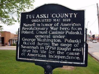
Photographed by Courtesy:: Marilyn S. Wolf, May 22, 2011
2. Obverse View - - Pulaski County (Indiana) Marker
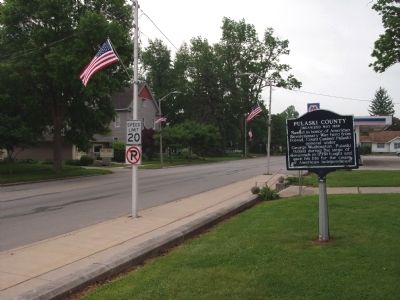
Photographed by Courtesy:: Marilyn S. Wolf, May 22, 2011
3. Looking South - - Pulaski County (Indiana) Marker
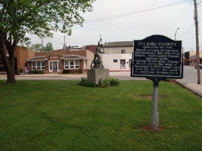
Photographed by Courtesy:: Marilyn S. Wolf, May 22, 2011
4. Looking North - - Pulaski County (Indiana) Marker
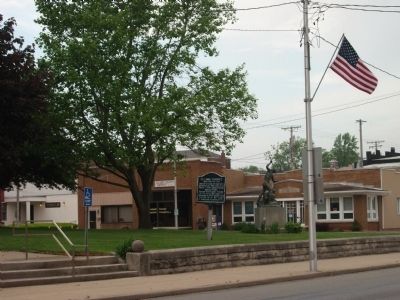
Photographed by Courtesy:: Marilyn S. Wolf, May 22, 2011
5. N/W Long View - - Pulaski County (Indiana) Marker
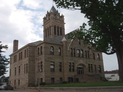
Photographed by Courtesy:: Marilyn S. Wolf, May 22, 2011
6. S/E Corner - - Pulaski County Courthouse - Winamac, Indiana
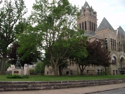
Photographed by Courtesy:: Marilyn S. Wolf, May 22, 2011
7. N/E Corner - - Pulaski County Courthouse - Winamac, Indiana
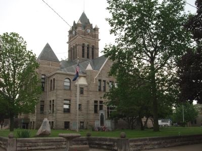
Photographed by Courtesy:: Marilyn S. Wolf, May 22, 2011
8. N/W Corner - - Pulaski County Courthouse - Winamac, Indiana
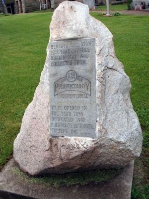
Photographed by Courtesy:: Marilyn S. Wolf, May 22, 2011
9. N/W Corner - - Pulaski County 'Time Capsule - - Open 2039
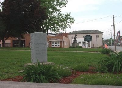
Photographed by Courtesy:: Marilyn S. Wolf, May 22, 2011
10. S/E Corner - - Pulaski County Time Capsule - Open 2026
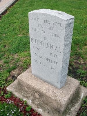
Photographed by Courtesy:: Marilyn S. Wolf, May 22, 2011
11. Close-up - - 2026 Time Capsule
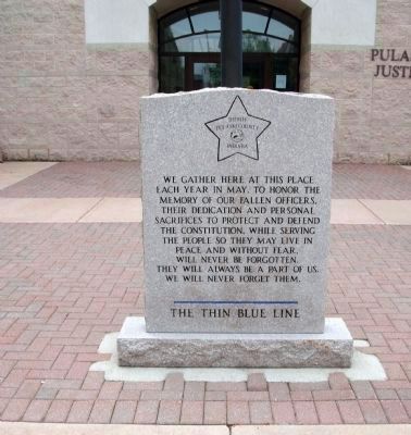
Photographed by Courtesy:: Marilyn S. Wolf, May 22, 2011
12. "The Thin Blue Line" Memorial
The Text Reads::
“”We gather here at this place each year in May, to honor the memory of our fallen Officers. Their dedication and personal sacrifices to protect and defend the Constitution, while serving the people so they may live in peace and without fear, will never be forgotten. They will always be a part of us. We will never forget them.
The Thin Blue Line”“
“”We gather here at this place each year in May, to honor the memory of our fallen Officers. Their dedication and personal sacrifices to protect and defend the Constitution, while serving the people so they may live in peace and without fear, will never be forgotten. They will always be a part of us. We will never forget them.
The Thin Blue Line”“

Photographed by Courtesy:: Marilyn S. Wolf, May 22, 2011
13. Pulaski County Justice Center - - North of Courthouse - Short Walk
Credits. This page was last revised on July 13, 2021. It was originally submitted on May 24, 2011, by Al Wolf of Veedersburg, Indiana. This page has been viewed 1,098 times since then and 48 times this year. Photos: 1, 2, 3, 4, 5, 6, 7, 8. submitted on May 24, 2011, by Al Wolf of Veedersburg, Indiana. 9, 10, 11, 12, 13. submitted on June 17, 2011, by Al Wolf of Veedersburg, Indiana. • Syd Whittle was the editor who published this page.
