Barkerville in Cariboo, British Columbia — Canada’s West Coast (North America)
Cariboo Gold Fields
Districts Aurifères de Cariboo
— Barkerville - Historic Town —
English:
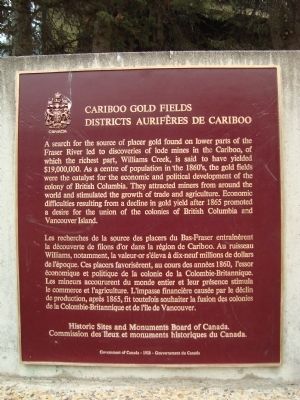
A search for the source of placer gold found on lower parts of the Fraser River led to discoveries of lode mines in the Cariboo, of which Williams Creek, is said to have yielded $19,000,000. As a centre of population in the 1860’s, the gold fields were the catalyst for the economic and political development of colony of British Columbia. They attracted miners from around the world and stimulated the growth of trade and agriculture. Economic difficulties resulting from the decline in gold yield after 1865 promoted a desire for union of the colonies of British Columbia and Vancouver Island.
French:
Les recherches de la source des placers de Bas-Frasier entraînèrent la déécouverte de filons d’or dans la région de Cariboo. Au ruisseau Williams, notamment, la valeur-or s’éleva à dix-neuf millions de dollars de l’époque. Ces placers favorisèrent, au cours des années 1860, l’essor économique et politique de la colonie de la Colombie-Britannique. Les mineurs accoururent du monde entier et leur présence stimula la commerce et l’agriculture. L’impasse financière causée par le déclin de production, aprè s 1865, fit toutefois souhaiter la fusion des colonies de la Columbie-Britannique et de l‘île de Vancouver.
Erected by Historic Sites and Monuments Board of Canada.
Topics. This historical marker is listed in these topic lists: Industry & Commerce • Natural Resources • Notable Places • Settlements & Settlers. A significant historical year for this entry is 1865.
Location. 53° 4.14′ N, 121° 30.906′ W. Marker is in Barkerville, British Columbia, in Cariboo. Marker can be reached from Barkerville Highway (Provincial Highway 26). The marker is located near the entrance to Barkerville. Touch for map. Marker is in this post office area: Barkerville BC BC V0K, Canada. Touch for directions.
Other nearby markers. At least 3 other markers are within 3 kilometers of this marker, measured as the crow flies. Cornish Wheel & Pump (approx. 0.4 kilometers away); Chee Kung Tong Building (approx. half a kilometer away); Richfield Courthouse (approx. 1.9 kilometers away).
Also see . . . Tour Barkerville, BC. A Youtube video displaying a visitor's photo album of of the town of Barkerville and its buildings. (Submitted on May 26, 2011, by Barry Swackhamer of Brentwood, California.)
Photographed By Barry Swackhamer, August 19, 2010
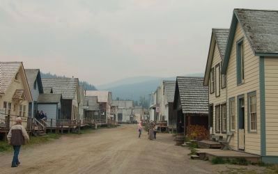
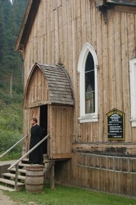
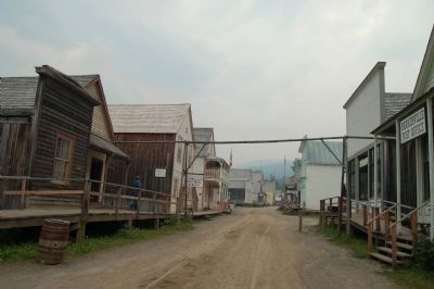
2. Barkerville - Historic Town
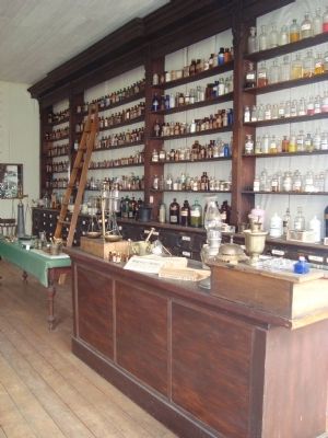
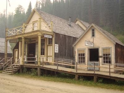
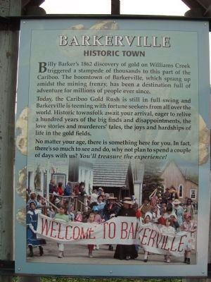
Billie Barker’s discovery of gold on Williams Creek triggered a stampede of thousands to this part of the Cariboo. The boomtown of Barkerville, which sprang up amidst the mining frenzy, has been a destination full of adventure for millions of people ever since.
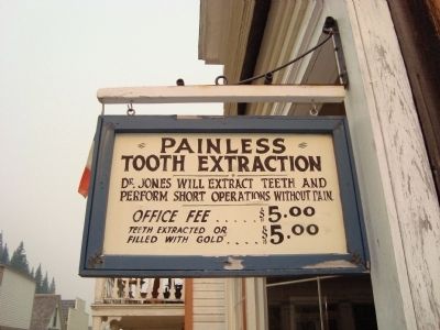
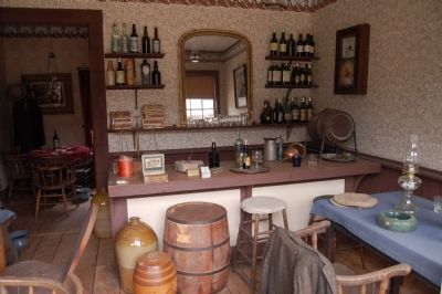
Today, the Cariboo Gold Rush is still in full swing and Barkerville is teeming with fortune seekers from all over the world. Historic townsfolk await your arrival, eager to relive a hundred years of big finds and disappointments, the love stories and murdereers’ tales, the joys and hardships of life in the gold fields.
No matter your age, there is something here for you. In fact, there’s so much to see and do, why not plan to spend a couple of days with us? You’ll treasured the experience!
Credits. This page was last revised on July 22, 2018. It was originally submitted on May 26, 2011, by Barry Swackhamer of Brentwood, California. This page has been viewed 934 times since then and 13 times this year. Photos: 1, 2, 3, 4, 5, 6, 7, 8, 9, 10, 11, 12. submitted on May 26, 2011, by Barry Swackhamer of Brentwood, California. • Syd Whittle was the editor who published this page.
