Near Andrew in Sangamon County, Illinois — The American Midwest (Great Lakes)
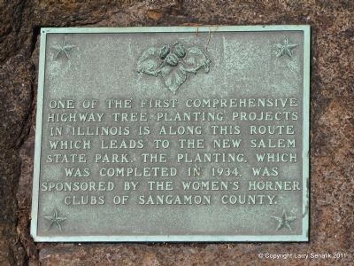
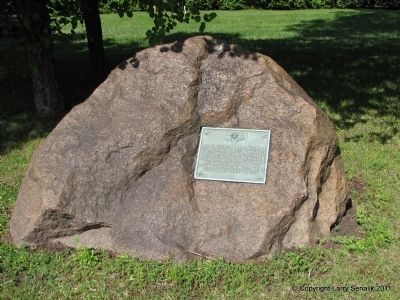
Highway Tree Planting
Erected 1934.
Topics. This historical marker is listed in this topic list: Charity & Public Work. A significant historical year for this entry is 1934.
Location. 39° 53.296′ N, 89° 40.377′ W. Marker is near Andrew, Illinois, in Sangamon County. Marker is at the intersection of Illinois Route 29 and Jeffries Road, on the left when traveling north on State Route 29. Touch for map. Marker is in this post office area: Springfield IL 62707, United States of America. Touch for directions.
Other nearby markers. At least 8 other markers are within 5 miles of this marker, measured as the crow flies. Abraham Lincoln (approx. 4 miles away); Illinois Remembers POW/MIA (approx. 4 miles away); Route 66 Experience (approx. 4.3 miles away); A. Lincoln Motel (approx. 4.3 miles away); Chain of Rocks Motel (approx. 4.3 miles away); Bel-Air Drive-In (approx. 4.3 miles away); The Coliseum (approx. 4.3 miles away); Chain of Rocks Bridge (approx. 4.3 miles away).
Credits. This page was last revised on August 3, 2020. It was originally submitted on May 28, 2011, by Larry Senalik of Pleasant Plains, Illinois. This page has been viewed 621 times since then and 11 times this year. Photos: 1, 2. submitted on May 28, 2011, by Larry Senalik of Pleasant Plains, Illinois. • Bill Pfingsten was the editor who published this page.

