Huntington in Suffolk County, New York — The American Northeast (Mid-Atlantic)
Fort Hill
Photographed by Bill Coughlin, May 28, 2011
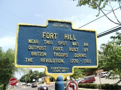
1. Fort Hill Marker
Near this spot was an outpost fort, built by British troops during the Revolution, 1776 - 1783.
Erected 1977 by Town of Huntington Bicentennial Committee.
Topics. This historical marker is listed in this topic list: War, US Revolutionary. A significant historical year for this entry is 1776.
Location. 40° 52.788′ N, 73° 24.292′ W. Marker is in Huntington, New York, in Suffolk County. It is at the intersection of E Main Street and Maple Hill Road, on the left when traveling east on E Main Street. Touch for map. Marker is in this post office area: Huntington NY 11743, United States of America. Touch for directions.

Regionally, this marker is in the New York City Metropolitan Area and on Long Island. It is also in the American Northeast, in the Mid-Atlantic, and on the Eastern Seaboard. Globally, it is in the North Atlantic Region, North America, the Western Hemisphere, the Western World, and the Anglosphere. Historically, it finds itself in what was once New Netherland and also one of the original Thirteen Colonies.
Other nearby markers. At least 8 other markers are within walking distance of this marker:
this page online
Photographed by Bill Coughlin, May 28, 2011
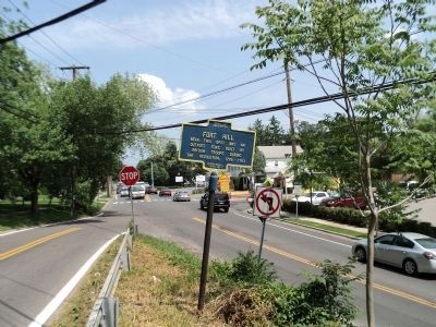
2. Fort Hill Marker (east view)
Photographed by Bill Coughlin, May 28, 2011
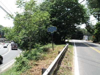
3. Fort Hill Marker
This view of the marker looks west, up Maple Hill Road (on the right).
Credits. This page was last revised on March 12, 2026. It was originally submitted on May 28, 2011, by Bill Coughlin of Woodland Park, New Jersey. This page has been viewed 1,818 times since then and 92 times this year. Photos: 1, 2, 3. submitted on May 28, 2011, by Bill Coughlin of Woodland Park, New Jersey.
