Barnegat in Barnegat Township in Ocean County, New Jersey — The American Northeast (Mid-Atlantic)
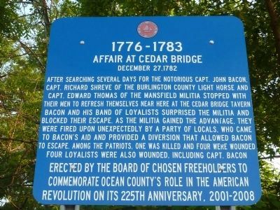
Affair at Cedar Bridge
1776-1783
— December 27, 1782 —
Erected by the Board of Chosen Freeholders to commemorate Ocean County’s role in the American Revolution on its 225th anniversary, 2001-2008
Erected by Board of Chosen Freeholders.
Topics. This historical marker is listed in these topic lists: Patriots & Patriotism • War, US Revolutionary.
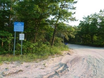
Location. 39° 47.592′ N, 74° 22.081′ W. Marker is in Barnegat Township, New Jersey, in Ocean County. It is in Barnegat. Marker is at the intersection of State Highway 72 and Old Halfway Rd S, on the right when traveling east on State Highway 72. Touch for map. Marker is at or near this postal address: 560 Route 72, Barnegat NJ 08005, United States of America. Touch for directions.
Other nearby markers. At least 8 other markers are within 2 miles of this marker, measured as the crow flies. One in a Mill-ion (approx. ¾ mile away); Fire: Nature’s Double Agent (approx. 0.8 miles away); A Haven in the Heat (approx. 0.8 miles away); Last Stand of the Revolution (approx. 0.8 miles away); Land Between the Lines (approx. 0.8 miles away); Historical Horticulture (approx. 0.8 miles away); Welcome to West Jersey (approx. 1.3 miles away); Welcome to East Jersey (approx. 1.3 miles away). Touch for a list and map of all markers in Barnegat Township.
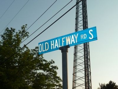
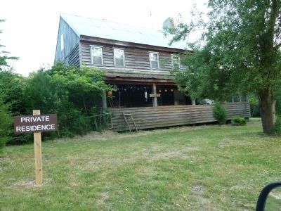
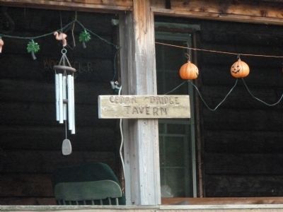
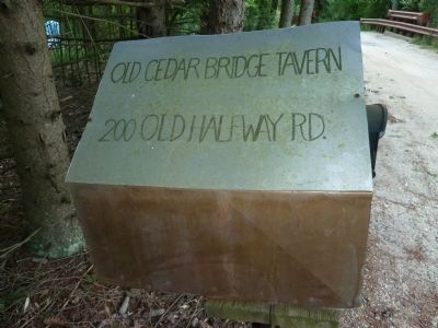
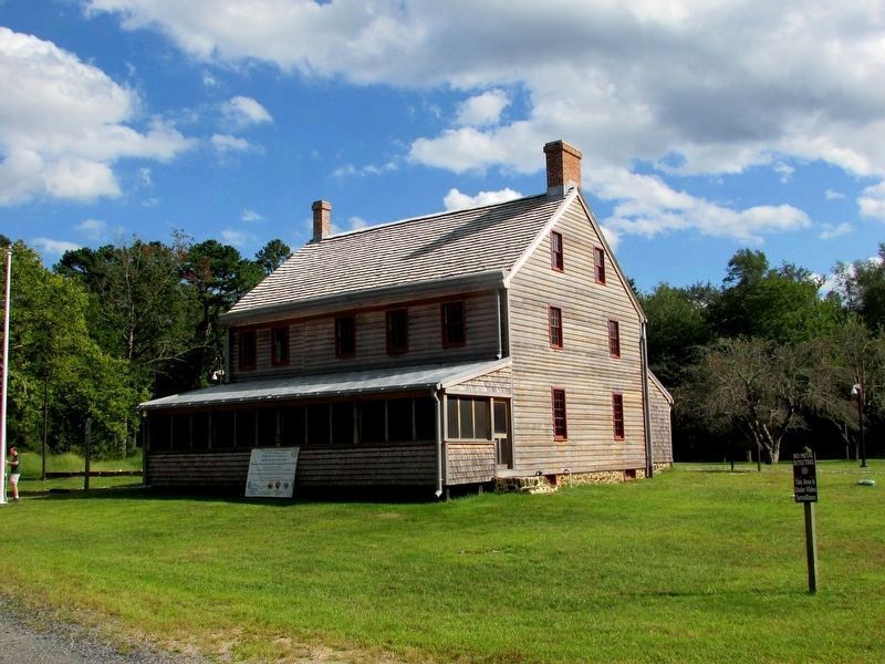
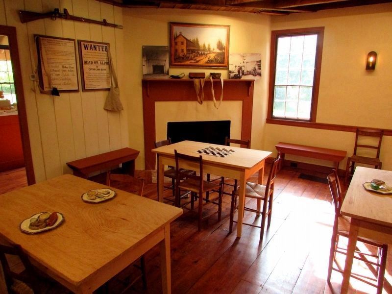
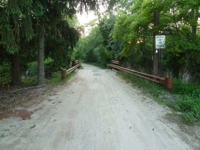
Regarding Affair at Cedar Bridge. To locate the tavern itself, traveling East on highway 72 turn right onto Old Halfway Road S. A wooden structure identified as “Cedar Bridge Tavern”, where the actual skirmish occurred, stands at 200 Old Halfway Road and is located 0.8 miles along Old Halfway Road S on the right side a few feet from a small bridge spanning a creek. It is now a privately owned residence but is clearly visible from the road and identified by a wooden sign nailed to a post on the front porch. The tavern's coordinates are
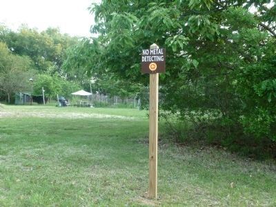
N39 47.010', W74 21.639' There are county signs prohibiting metal detecting on the property. Continuing along Old Halfway Road S, the road turns into Old Cedar Bridge Road which intersects with CR 532(Warren Grove Road.) A second, identical marker is located at the intersection of Old Cedar Bridge Road and Warren Grove Road located at N39 46.764', W74 20.564'
Additional keywords. New Jersey Pine Barrens
Credits. This page was last revised on February 7, 2023. It was originally submitted on May 29, 2011, by John Intile of Toms River, New Jersey. This page has been viewed 1,162 times since then and 24 times this year. Photos: 1, 2. submitted on May 29, 2011, by John Intile of Toms River, New Jersey. 3, 4, 5. submitted on May 30, 2011, by John Intile of Toms River, New Jersey. 6, 7. submitted on September 9, 2019, by Bill Coughlin of Woodland Park, New Jersey. 8. submitted on May 29, 2011, by John Intile of Toms River, New Jersey. 9, 10. submitted on May 30, 2011, by John Intile of Toms River, New Jersey. • Bill Pfingsten was the editor who published this page.
