Sherman Ave. Project Area in Springfield in Greene County, Missouri — The American Midwest (Upper Plains)
First Church In Greene County
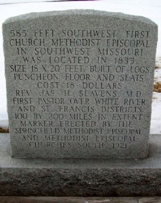
585 feet southwest first church, Methodist Episcopal, in southwest Missouri was located in 1833. Size 18 x 20 feet, built of logs, puncheon floor and seats. Cost 18 dollars. Rev. Jas. H. Slavens, M.D., first pastor over White River and St. Francis Districts, 100 by 200 miles in extent.
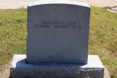
Erected 1921 by University Club, Springfield Methodist Episcopal and Methodist Episcopal Churches South. (Marker Number 9.)
Topics. This historical marker is listed in these topic lists: Churches & Religion • Settlements & Settlers. A significant historical year for this entry is 1833.
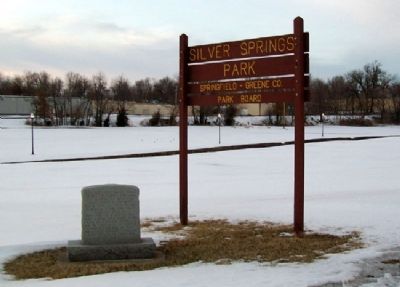
Location. 37° 13.344′ N, 93° 16.534′ W. Marker is in Springfield, Missouri, in Greene County. It is in the Sherman Ave. Project Area. Marker is on National Avenue near Calhoun Street, on the left when traveling north. Marker is at the entrance to Silver Springs Park. Touch for map. Marker is at or near this postal address: 1119 North National Avenue, Springfield MO 65802, United States of America. Touch for directions.
Other nearby markers. At least 8 other markers are within walking distance of this marker. Indian Mounds (approx. 0.6 miles away); Tau Eta Gamma (local) (approx. 0.6 miles away); Fairbanks Hall (approx. 0.6 miles away); Civil War Entrenchments (approx. 0.6 miles away); a different marker also named Fairbanks Hall (approx. 0.7 miles away); Stone Chapel (approx. 0.7 miles away); Historic Washington Avenue Baptist Church (approx. 0.7 miles away); First Springfield Railroad (approx. 0.8 miles away). Touch for a list and map of all markers in Springfield.
Also see . . . First Church in Greene County. (Submitted on June 5, 2011, by William Fischer, Jr. of Scranton, Pennsylvania.)
Credits. This page was last revised on February 16, 2023. It was originally submitted on June 5, 2011, by William Fischer, Jr. of Scranton, Pennsylvania. This page has been viewed 550 times since then and 16 times this year. Photos: 1. submitted on June 5, 2011, by William Fischer, Jr. of Scranton, Pennsylvania. 2. submitted on September 18, 2013, by M. Blakelylaw of Southeast, Oklahoma. 3. submitted on June 5, 2011, by William Fischer, Jr. of Scranton, Pennsylvania.


