Near Tilden in McMullen County, Texas — The American South (West South Central)
Cross
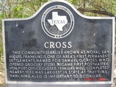
Photographed by Gansito Marinela, May 13, 2006
1. Cross Marker
This community (earlier known as Nopal, San Miguel, Franklin) is one of area's first permanent settlements. Named for Samuel C. Cross, who opened grocery store, became first postmaster, 1924. Post office closed, 1934. Gas well completed nearby, 1953, was largest in state at that time. Ranching also is important to economy.
Erected 1967 by State Historical Survey Committee. (Marker Number 1118.)
Topics. This historical marker is listed in this topic list: Notable Places. A significant historical year for this entry is 1924.
Location. 28° 36.106′ N, 98° 32.759′ W. Marker is near Tilden, Texas, in McMullen County. It is on State Highway 16 0.2 miles south of Cemetery Road, on the left when traveling south. Touch for map. Marker is in this post office area: Tilden TX 78072, United States of America. Touch for directions.

Regionally, this marker is in South Texas. It is also in the American Borderlands. Globally, it is in North America, a Gulf of Mexico state, the Western Hemisphere, the Western World, and the Anglosphere. Historically, it finds itself in what was once New Spain, the Republic of Texas, and one
this page online
Other nearby markers. At least 8 other markers are within 10 miles of this marker, measured as the crow flies: San Miguel Cemetery (approx. 0.6 miles away); Franklin Ranch (approx. 1.4 miles away); McMullen County Veterans Memorial (approx. 9½ miles away); Camp Rio Frio, C.S.A. (approx. 9.6 miles away); San Caja Hill (approx. 9.6 miles away); Original Burial Site of Moses William Hindes (approx. 9.7 miles away); Boot Hill Cemetery, 1858-77 (approx. 9.7 miles away); Old Rock Store (approx. 9.7 miles away). Touch for a list and map of all markers in Tilden.
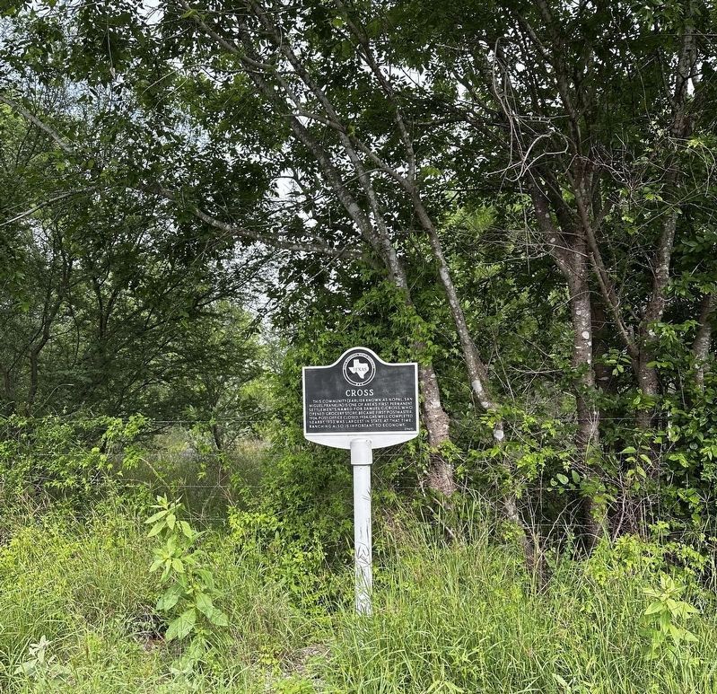
Photographed by Col. James F. Jamison, USMC (Ret), March 31, 2024
2. View of Cross marker from TX16 (North) turnout
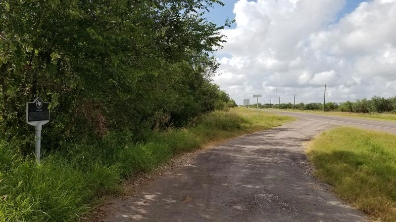
Photographed by James Hulse, August 29, 2021
3. The view of the Cross Marker from the driveway
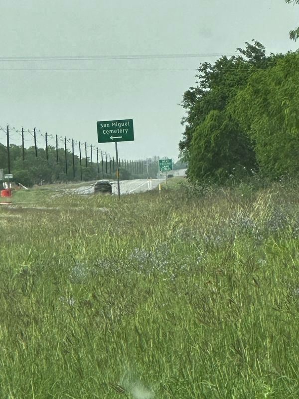
Photographed by Col. James F. Jamison, USMC (Ret), March 31, 2024
4. View of TX route 16 North from Cross market turn out
Credits. This page was last revised on April 1, 2024. It was originally submitted on June 13, 2011, by Gansito Marinela of H-town, Texas. This page has been viewed 1,740 times since then and 117 times this year. Photos: 1. submitted on June 13, 2011, by Gansito Marinela of H-town, Texas. 2. submitted on March 31, 2024, by Col. James F. Jamison, USMC (Ret) of Coronado, California. 3. submitted on September 1, 2021, by James Hulse of Medina, Texas. 4. submitted on March 31, 2024, by Col. James F. Jamison, USMC (Ret) of Coronado, California. • Bill Pfingsten was the editor who published this page.
