Kenly in Johnston County, North Carolina — The American South (South Atlantic)
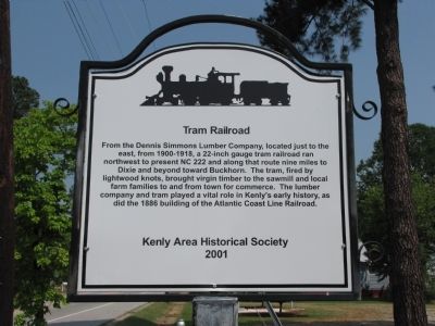
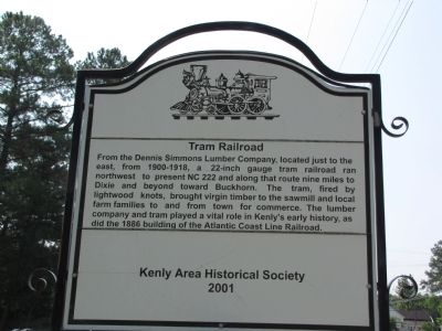
Tram Railroad
Erected 2001 by Kenly Area Historical Society.
Topics. This historical marker is listed in these topic lists: Industry & Commerce • Railroads & Streetcars • Settlements & Settlers. A significant historical year for this entry is 1886.
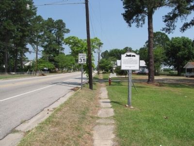
Location. 35° 35.866′ N, 78° 7.554′ W. Marker is in Kenly, North Carolina, in Johnston County. Marker is at the intersection of West 2nd Street (State Highway 222) and S. Darden Street, on the right when traveling north on West 2nd Street. Located near Kenly's American Legion Post 328, before you reach the Kenly Lodge No. 257, A.F. & A.M. Touch for map. Marker is at or near this postal address: 404 West 2nd Street, Kenly NC 27542, United States of America. Touch for directions.
Other nearby markers. At least 7 other markers are within 15 miles of this marker, measured as the crow flies. The Battle of Bentonville (approx. 8.2 miles away); Charles B. Aycock (approx. 9˝ miles away); Mitchener Station (approx. 10 miles away); The Last Grand Review (approx. 10 miles away); Catch-Me-Eye Explosion (approx. 11 miles away); Country Doctor Museum (approx. 12.7 miles away); Cherry Hospital (approx. 15 miles away).
Credits. This page was last revised on June 16, 2016. It was originally submitted on June 16, 2011, by Lee Hattabaugh of Capshaw, Alabama. This page has been viewed 540 times since then and 19 times this year. Photos: 1, 2, 3. submitted on June 16, 2011, by Lee Hattabaugh of Capshaw, Alabama. • Bill Pfingsten was the editor who published this page.


