Trout Run in Lycoming County, Pennsylvania — The American Northeast (Mid-Atlantic)
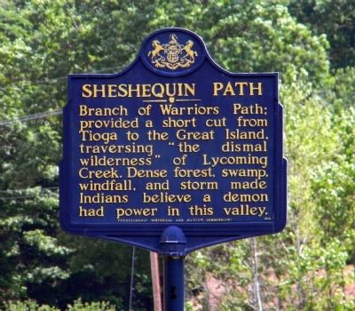
Sheshequin Path
Erected 1949 by Pennsylvania Historical and Museum Commission.
Topics and series. This historical marker is listed in this topic list: Native Americans. In addition, it is included in the Pennsylvania Historical and Museum Commission series list.
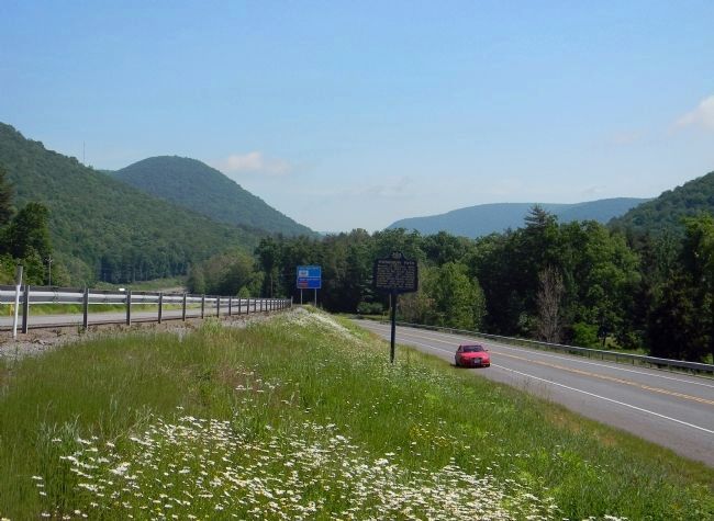
Location. 41° 22.845′ N, 77° 3.644′ W. Marker is in Trout Run, Pennsylvania, in Lycoming County. Marker is on Lycoming Creek Road south of Mill Street. The marker is moderately visible from US-15 northbound. However it is posted down the embankment so it is barely visible above the guardrail and there is very little road shoulder. It is best accessible from Old Lycoming Road south out of Trout Run. Touch for map. Marker is in this post office area: Trout Run PA 17771, United States of America. Touch for directions.
Other nearby markers. At least 8 other markers are within 10 miles of this marker, measured as the crow flies. A different marker also named Sheshequin Path (approx. 1.6 miles away); Civilian Conservation Corps (approx. 3.7 miles away); Blooming Grove Dunkard Meeting House (approx. 4.9 miles away); Williamson Road (approx. 6.4 miles away); Freedom Road Cemetery (approx. 8.6 miles away); John M. McMinn (approx. 9 miles away); William Hepburn (approx. 9 miles away); Civil War Monument (approx. 9.2 miles away). Touch for a list and map of all markers in Trout Run.
Related marker. Click here for another marker that is related to this marker. To better understand the relationship, study the marker shown.
Also see . . . History of Lycoming County Pennsylvania: Chapter II. Appearance of the Painted Savage. (Submitted on June 18, 2011, by PaulwC3 of Northern, Virginia.)
Credits. This page was last revised on June 16, 2016. It was originally submitted on June 18, 2011, by PaulwC3 of Northern, Virginia. This page has been viewed 802 times since then and 42 times this year. Photos: 1, 2. submitted on June 18, 2011, by PaulwC3 of Northern, Virginia.

