Paris in Bourbon County, Kentucky — The American South (East South Central)
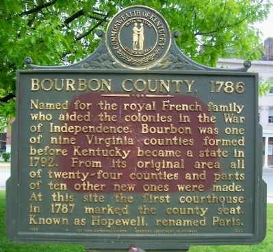
Bourbon County, 1786
Photographed by Forest McDermott, May 7, 2011
1. Bourbon County, 1786 Marker
Named for the royal French family who aided the colonies in the War of Independence. Bourbon was one of nine Virginia counties formed before Kentucky became a state in 1792. From its original area all of twenty-four counties and parts of ten other new ones were made. At this site the first courthouse in 1787 marked the county seat. Known as Hopewell, renamed Paris.
Erected 1969 by Kentucky Historical Society and Kentucky Department of Highways. (Marker Number 1246.)
Topics and series. This historical marker is listed in this topic list: Political Subdivisions. In addition, it is included in the Kentucky Historical Society series list. A significant historical year for this entry is 1792.
Location. 38° 12.764′ N, 84° 14.989′ W. Marker is in Paris, Kentucky, in Bourbon County. It is on Main Street (U.S. 460), on the left when traveling north. In front of the Bourbon County Courthouse on the Ardery Place side of the courthouse. Touch for map. Marker is in this post office area: Paris KY 40361, United States of America. Touch for directions.

Regionally, this marker is in the Bluegrass Region and in Greater Lexington Area.
this page online
Other nearby markers. At least 8 other markers are within walking distance of this marker: Bourbon County Vietnam Veterans Memorial (a few steps from this marker); John Edwards 1748-1837 / Westwood (a few steps from this marker); Bourbon County Revolutionary War Memorial (within shouting distance of this marker); Bourbon County World War I Monument (within shouting distance of this marker); William Holmes McGuffey (within shouting distance of this marker); Duncan Tavern (within shouting distance of this marker); a different marker also named Duncan Tavern (within shouting distance of this marker); CSA at Paris, 1862 (about 300 feet away, measured in a direct line). Touch for a list and map of all markers in Paris.
Photographed by Forest McDermott, May 7, 2011
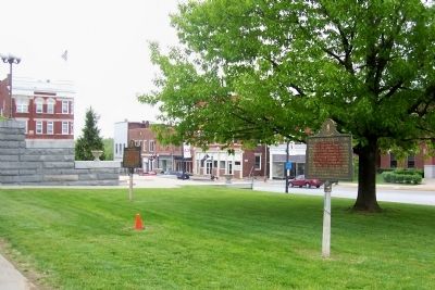
2. Bourbon County, 1786 Marker
On the left of marker is the marker for John Edwards/Westwood.
Photographed by Forest McDermott, May 7, 2011
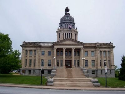
3. Bourbon County Courthouse
Bourbon County marker is on the left behind the tree in front of the courthouse.
Credits. This page was last revised on June 3, 2021. It was originally submitted on June 20, 2011, by Forest McDermott of Masontown, Pennsylvania. This page has been viewed 1,196 times since then and 61 times this year. Photos: 1, 2, 3. submitted on June 20, 2011, by Forest McDermott of Masontown, Pennsylvania. • Bill Pfingsten was the editor who published this page.
