John Edwards 1748-1837 / Westwood
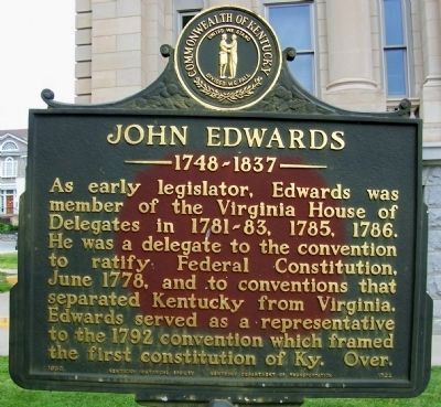
John Edwards 1748-1837
As early legislator, Edwards was member of the Virginia House of Delegates in 1781-83, 1785, 1786. He was a delegate to the convention to ratify Federal Constitution, June 1788, and to conventions that separated Kentucky from Virginia. Edwards served as a representative to the 1792 convention which framed the first constitution of Ky. Over.
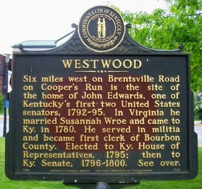
Westwood
Six miles west on Brentsville Road on Cooper's Run is the site of the home of John Edwards, one of Kentucky's first two United States senators, 1792-1795. In Virginia he married Susannah Wroe and came to Ky. in 1780. He served in militia and became first clerk of Bourbon County. Elected to Ky. House of Representatives, 1795; then to Ky. Senate, 1796-1800. See over.
Erected 1982 by Kentucky Historical Society, Kentucky Department of Transportation. (Marker Number 1722.)
Topics and series. This historical marker is listed in this topic list: Government & Politics. In addition, it is included in the Kentucky Historical Society series list. A significant historical year for this entry is 1785.
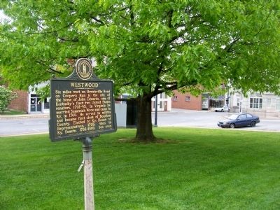
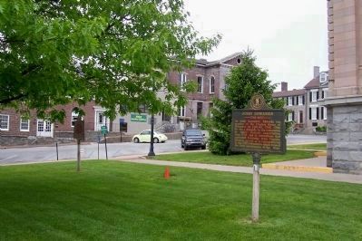
Location. 38° 12.77′ N, 84° 14.986′ W. Marker is in Paris, Kentucky, in Bourbon County. Marker is on Main Street (U.S. 460), on the left when traveling north
Other nearby markers. At least 8 other markers are within walking distance of this marker. Bourbon County, 1786 (a few steps from this marker); Bourbon County Revolutionary War Memorial (a few steps from this marker); Bourbon County Vietnam Veterans Memorial (a few steps from this marker); Bourbon County World War I Monument (within shouting distance of this marker); William Holmes McGuffey (within shouting distance of this marker); Duncan Tavern (within shouting distance of this marker); CSA at Paris, 1862 (within shouting distance of this marker); Eades Tavern (about 500 feet away, measured in a direct line). Touch for a list and map of all markers in Paris.
Credits. This page was last revised on October 5, 2020. It was originally submitted on June 20, 2011, by Forest McDermott of Masontown, Pennsylvania. This page has been viewed 832 times since then and 25 times this year. Photos: 1, 2, 3, 4. submitted on June 20, 2011, by Forest McDermott of Masontown, Pennsylvania. • Bill Pfingsten was the editor who published this page.


