North Columbia in Nevada County, California — The American West (Pacific Coastal)
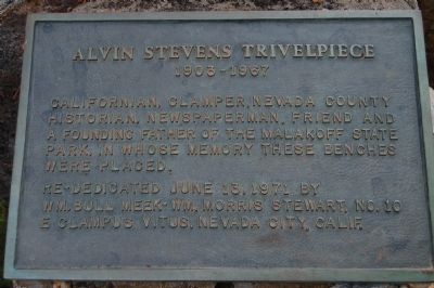
Alvin Stevens Trivelpiece
1903 - 1967
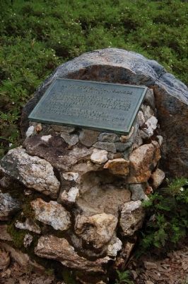
Erected 1971 by E Clampus Vitus, Wm. Bull Meek – Wm. Morris Stewart, No. 10.
Topics and series. This historical marker is listed in these topic lists: Communications • Parks & Recreational Areas. In addition, it is included in the E Clampus Vitus series list.
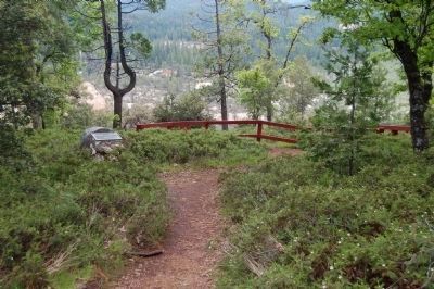
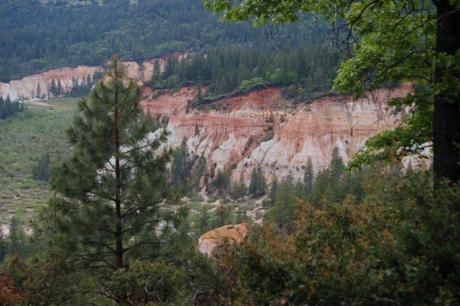
Location. 39° 22.493′ N, 120° 54.3′ W. Marker is in North Columbia, California, in Nevada County. Marker can be reached from North Bloomfield Road. The marker is located at Diggins Overlook in Malakoff Diggins State Historic Park's Chute Hill Campground. Touch for map. Marker is at or near this postal address: 24126 North Bloomfield Road, Nevada City CA 95959, United States of America. Touch for directions.
Other nearby markers. At least 8 other markers are within 3 miles of this marker, measured as the crow flies. Shoot (Chute) Hill (about 400 feet away, measured in a direct line); North Bloomfield School (approx. half a mile away); St. Columncille's Church (approx. half a mile away); Giant (approx. 0.6 miles away); Malakoff Diggins Clampicnic Area (approx. 0.6 miles away); North Bloomfield Mining and Gravel Company (approx. 0.6 miles away); North Bloomfield Drain Tunnel (approx. 1.1 miles away); Site of Lake City (approx. 2.4 miles away). Touch for a list and map of all markers in North Columbia.
More about this marker. Malakoff Diggins State Historic Park is located approximately 22 miles north of Nevada City off of State Highway 49.
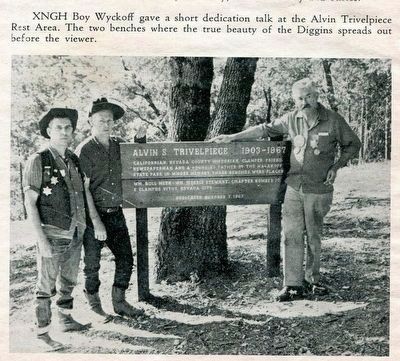
The Clamper, October 7, 1967
5. Alvin Stevens Trivelpiece, the original wooden marker
A picture from the December issue of "The Clamper", a publication issued to members of E Clampus Vitus. The picture shows the original wooden marker erected in October of 1967 less than a month after Alvin Trivelpiece passed away. The wooden marker was removed when the brass marker was erected.
Credits. This page was last revised on November 6, 2019. It was originally submitted on June 22, 2011, by Barry Swackhamer of Brentwood, California. This page has been viewed 545 times since then and 17 times this year. Last updated on June 23, 2011, by Barry Swackhamer of Brentwood, California. Photos: 1, 2, 3, 4. submitted on June 22, 2011, by Barry Swackhamer of Brentwood, California. 5. submitted on March 18, 2016, by Lester J Letson of Fresno, California. • Syd Whittle was the editor who published this page.
