Abbeville in Abbeville County, South Carolina — The American South (South Atlantic)
Parsons Mountain
Land Renewed
Photographed by Brian Scott, June 13, 2011
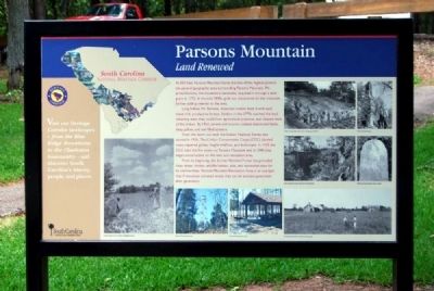
1. Parsons Mountain Marker
At 832 feet, Parsons Mountain holds the title of the highest point in the general geographic area surrounding Parsons Mountain. Mr. James Parsons, the mountain's namesake, acquired it through a land grant in 1772. In the mid 1800s, gold was discovered on the mountain, further adding interest to the area.
Long before Mr. Parsons, American Indians lived in and used these rich, productive forests. Settlers in the 1770s worked the land, obtaining what they could from agricultural practices, and cleared most of the timber. By 1920, severe soil erosion created abandoned fields, deep gullies, and soil-filled streams.
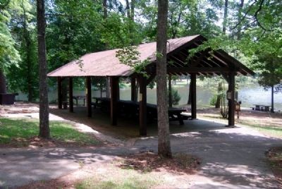
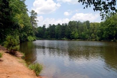
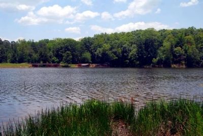
From this worn out land, the Sumter National Forest was started in 1936. The Civilian Conservation Corps (CCC) planted trees, repaired gullies, fought wildfires, and built roads. In 1935 the CCC built the fire tower on Parsons Mountain and in 1940 they began construction on this lake and recreation area.
From its beginning, the Sumter National Forest has provided clean water, timber, wildlife habitat, jobs, and recreation sites for its communities. Parsons Mountain Recreation Area is an example that if
this page online
Erected 2010 by South Carolina National Heritage Corridor.
Topics and series. This historical marker is listed in this topic list: Natural Resources. In addition, it is included in the Civilian Conservation Corps (CCC), and the South Carolina Heritage Corridor series lists. A significant historical year for this entry is 1772.
Location. 34° 5.875′ N, 82° 21.433′ W. Marker is in Abbeville, South Carolina, in Abbeville County. It is on Campground Road. Touch for map. Marker is in this post office area: Abbeville SC 29620, United States of America. Touch for directions.

Regionally, this marker is in Upstate. It is also in the American South and specifically in the Deep South. Globally, it is in North America, the Western Hemisphere, the Western World, and the Anglosphere. Historically, it finds itself in what was once the territory of the Mississippian Culture, one of the original Thirteen Colonies, one of the Confederate States of America, and the Antebellum South.
Other nearby markers. At least 10 other markers are within 6 miles of this marker,
Photographed by Brian Scott, June 13, 2011
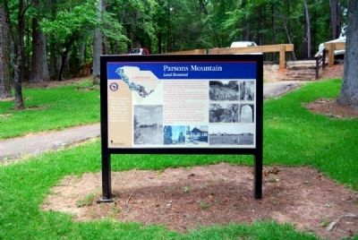
2. Parsons Mountain Marker
Also see . . .
1. Sumter National Forest. The Sumter National Forest is one of two forests in South Carolina that are managed together by the United States Forest Service, the other being the Francis Marion National Forest. (Submitted on June 24, 2011, by Brian Scott of Anderson, South Carolina.)
2. Civilian Conservation Corps. The Civilian Conservation Corps (CCC) was a public work relief program that operated from 1933 to 1942 in the United States for unemployed, unmarried men from
Photographed by Brian Scott, June 13, 2011
3. Parsons Mountain Marker
Photographed by Brian Scott, June 13, 2011
4. Parsons Mountain Marker -
Reverse
Reverse
Photographed by Brian Scott, June 13, 2011
5. Parsons Mountain -
Picnic Area
Picnic Area
Photographed by Brian Scott, June 13, 2011
6. Parsons Mountain -
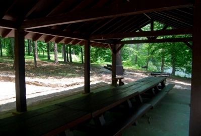
Picnic Area Interior
Picnic Area Interior
Photographed by Brian Scott, June 13, 2011
7. Parsons Mountain Lake
Photographed by Brian Scott, June 13, 2011
8. Parsons Mountain Lake
Credits. This page was last revised on January 22, 2026. It was originally submitted on June 24, 2011, by Brian Scott of Anderson, South Carolina. This page has been viewed 3,969 times since then and 216 times this year. Photos: 1, 2, 3, 4, 5, 6, 7, 8. submitted on June 24, 2011, by Brian Scott of Anderson, South Carolina.
