Mahwah in Bergen County, New Jersey — The American Northeast (Mid-Atlantic)
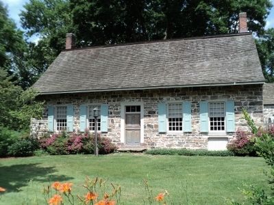
Laroe-Van Horn House
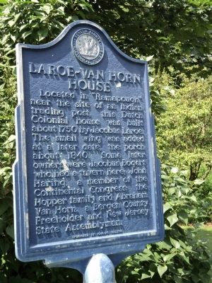
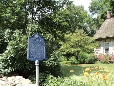
Located in “Ramapough” near the site of an Indian trading post, this Dutch Colonial house was built about 1750 by Jacobus Laroe. The small wing was added at a later date, the porch about 1840. Some later owners were Jacobus Bogert who had a tavern here; John Haring, a member of the Continental Congress; the Hopper family and Abraham Van Horn, a Bergen County Freeholder and New Jersey Assemblyman.
Erected by Bergen County Historical Society. (Marker Number 25.)
Topics and series. This historical marker is listed in these topic lists: Architecture • Industry & Commerce • Native Americans • Settlements & Settlers. In addition, it is included in the New Jersey, Bergen County Historical Society series list. A significant historical year for this entry is 1750.
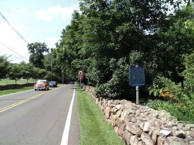
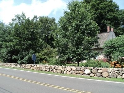
Location. 41° 5.308′ N, 74° 10.318′ W. Marker is in Mahwah, New Jersey, in Bergen County. Marker is on Ramapo Valley Road (U.S. 202), on the right when traveling south. Touch for map. Marker is at or near this postal address: 398 Ramapo Valley Road, Mahwah NJ 07430, United States of America. Touch for directions.
Other nearby markers. At least 8 other markers are within 2 miles of this marker, measured as the crow flies. The Hamlet of Darlington (approx. 0.9 miles away); Darlington Schoolhouse — Havemeyer Hall (approx. 0.9 miles away); Old Lutheran Cemetery (approx. one mile away); Hopper Gristmill Site (approx. 1.1 miles away); Ramapo Reformed Church (approx. 1.1 miles away); A.B. Darling Mansion (approx. 1.1 miles away); Tree of Life (approx. 1.3 miles away); Mahwah’s First Station (approx. 1.3 miles away). Touch for a list and map of all markers in Mahwah.
Also see . . . Bergen County Historical Society. Society website homepage (Submitted on June 26, 2011, by Bill Coughlin of Woodland Park, New Jersey.)
Photographed By Bill Coughlin, June 26, 2011
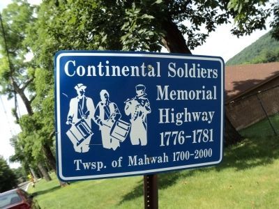
6. Continental Soldiers Memorial Highway
Ramapo Valley Road is known locally as Continental Soldiers Memorial Highway because it was often used by the army during the American Revolution. Rochambeau's French army joined Washington's American troops in marching past the Laroe-Van Horn House on their way to defeat the British in Yorktown, Va.
Credits. This page was last revised on December 15, 2021. It was originally submitted on June 26, 2011, by Bill Coughlin of Woodland Park, New Jersey. This page has been viewed 1,840 times since then and 50 times this year. Photos: 1, 2, 3, 4, 5, 6. submitted on June 26, 2011, by Bill Coughlin of Woodland Park, New Jersey.
