Near Elmira in Chemung County, New York — The American Northeast (Mid-Atlantic)
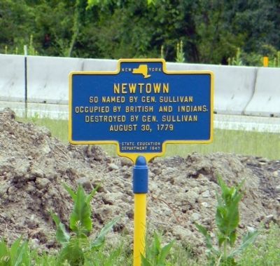
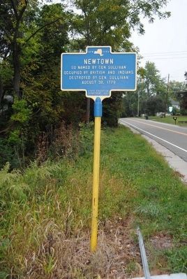
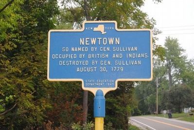
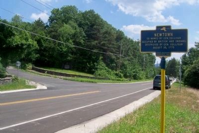
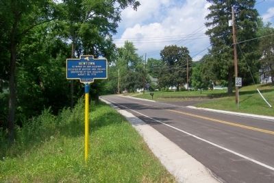
Newtown
occupied by British and Indians
Destroyed by General Sullivan,
August 30, 1779
Erected 1947 by New York State Education Department.
Topics. This historical marker is listed in these topic lists: Native Americans • War, US Revolutionary. A significant historical date for this entry is August 30, 1779.
Location. 42° 2.324′ N, 76° 44.144′ W. Marker is near Elmira, New York, in Chemung County. Marker can be reached from Southern Tier Expressway (Interstate 86) one mile west of Lowman Crossover, on the right when traveling west. Touch for map. Marker is in this post office area: Elmira NY 14901, United States of America. Touch for directions.
Other nearby markers. At least 10 other markers are within walking distance of this marker. Divided Peoples (approx. 0.4 miles away); The Battle of Newtown (approx. 0.4 miles away); Fire on the Frontier - 1778 (approx. 0.4 miles away); The Sullivan Campaign (approx. 0.4 miles away); Major General John Sullivan (approx. 0.4 miles away); Flagstaffs - Newtown Battlefield (approx. half a mile away); a different marker also named The Battle of Newtown (approx. half a mile away); Newtown Battlefield Reservation (approx. half a mile away); A Civil Rights Victory (approx. half a mile away); Routes of the Armies / Newtown 1779 (approx. 0.6 miles away). Touch for a list and map of all markers in Elmira.
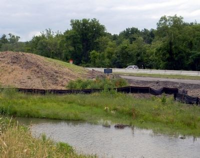
More about this marker. The marker was originally located on the shoulder of the westbound lanes of US-17. In June 2011, the marker stands in a construction zone as the highway is improved and upgraded to the future Interstate 86. The marker is viewable from the new local road paralleling US-17/I-86 at present.
The marker is just west of the unincorporated hamlet of Lowman.
Also see . . .
1. The Battle of Newtown. Chemung Valley Living History Center website entry:
The mighty Continental Army held the ground at Newtown. The Native and Loyalist forces turned and fled. The Expedition itself has been called a "well-executed failure." (Submitted on June 29, 2011, by PaulwC3 of Northern, Virginia.)
2. The 1779 Sullivan Campaign: A Little-Known Offensive Strategic To The War Breaks The Indian Nations. Wampum Bear website entry:
The 1779 Sullivan Campaign emerged as one of the larger of the Continental Army's offensives during the American Revolution, yet remains relatively unknown.1 It was an act of reprisal to break the Iroquois Confederation, a Native American political and military alliance that included
the Seneca, Cayuga, Mohawk, Onondaga, 0neida, and Tuscarora tribes. (Submitted on June 29, 2011, by PaulwC3 of Northern, Virginia.)
Credits. This page was last revised on January 5, 2022. It was originally submitted on June 29, 2011, by PaulwC3 of Northern, Virginia. This page has been viewed 849 times since then and 30 times this year. Photos: 1. submitted on June 29, 2011, by PaulwC3 of Northern, Virginia. 2, 3. submitted on November 5, 2015, by Brian Scott of Anderson, South Carolina. 4. submitted on June 29, 2011, by PaulwC3 of Northern, Virginia. 5, 6. submitted on July 22, 2013, by Forest McDermott of Masontown, Pennsylvania.
