Over-The-Rhine in Cincinnati in Hamilton County, Ohio — The American Midwest (Great Lakes)
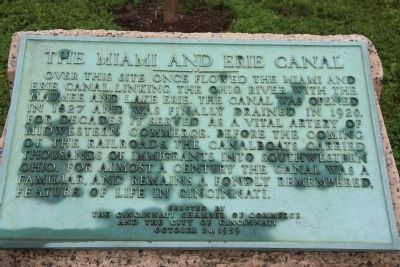
The Miami and Erie Canal
———— • ————
Over this site once flowed the Miami and
Erie Canal, linking the Ohio River with the
Maumee and Lake Erie. The canal was opened
in 1827 and was finally drained in 1920.
For decades it served as a vital artery of
midwestern commerce. Before the coming
of the railroads, the canalboats carried
thousands of immigrants into southwestern
Ohio. For almost a century the canal was a
familiar, and remains a fondly remembered,
feature of life in Cincinnati.
Erected 1959 by The Cincinnati Chamber of Commerce and the City of Cincinnati.
Topics and series. This historical marker is listed in these topic lists: Industry & Commerce • Waterways & Vessels. In addition, it is included in the The Miami & Erie Canal series list. A significant historical year for this entry is 1827.
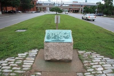
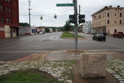
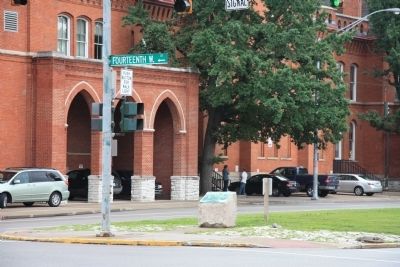
Location. 39° 6.586′ N, 84° 31.209′ W. Marker is in Cincinnati, Ohio, in Hamilton County. It is in Over-The-Rhine. Marker is at the intersection of Central Parkway and West Fourteenth Street, in the median on Central Parkway. This historical marker is located on the northern end of the median strip, across the street from a district police office, in the northwestern edge of the downtown business area. Touch for map. Marker is in this post office area: Cincinnati OH 45214, United States of America. Touch for directions.
Other nearby markers. At least 8 other markers are within walking distance of this marker. Expanding and Renovating Washington Park (about 500 feet away, measured in a direct line); The American Classical Music Walk of Fame - Cincinnati Music Hall (about 500 feet away); Col. R. L. McCook (about 700 feet away); Hecker (about 800 feet away); Robert L. McCook Monument / Friedrich Hecker Monument (about 800 feet away); Bandstand (approx. 0.2 miles away); Washington Park History / Cannon From Farragut's Fleet At Mobile Bay (approx. 0.2 miles away); The Betts House, 1804 (approx. 0.2 miles away). Touch for a list and map of all markers in Cincinnati.
Credits. This page was last revised on February 4, 2023. It was originally submitted on June 30, 2011, by Dale K. Benington of Toledo, Ohio. This page has been viewed 927 times since then and 15 times this year. Photos: 1, 2, 3, 4. submitted on June 30, 2011, by Dale K. Benington of Toledo, Ohio.


