Fort Bragg in Cumberland County, North Carolina — The American South (South Atlantic)
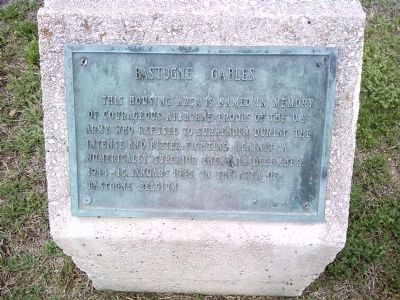
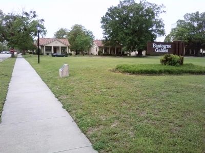
Bastogne Gables
5 Mar 53
Erected 1953.
Topics. This historical marker is listed in these topic lists: Forts and Castles • Man-Made Features • Patriots & Patriotism • War, World II. A significant historical date for this entry is January 15, 1945.
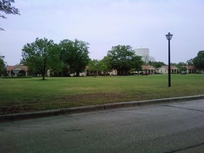
Location. 35° 9.27′ N, 78° 59.337′ W. Marker is in Fort Bragg, North Carolina, in Cumberland County. Marker is on Woodruff Street west of Sturgis Street, on the right when traveling west. Touch for map. Marker is in this post office area: Fort Bragg NC 28307, United States of America. Touch for directions.
Other nearby markers. At least 8 other markers are within 2 miles of this marker, measured as the crow flies. Iron Mike (approx. 0.4 miles away); Braxton Bragg (approx. 1.1 miles away); Fort Bragg (approx. 1.1 miles away); Ft. Bragg School Integration (approx. 1.1 miles away); DC-3/C-47 "Skytrain" (approx. 1.1 miles away); Pope Airmen Memorial (approx. 1.1 miles away); Airlifter's Memorial (approx. 1.1 miles away); C-119 "Packet" (approx. 1.1 miles away). Touch for a list and map of all markers in Fort Bragg.
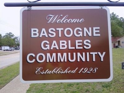
Regarding Bastogne Gables. A separate sign along Woodruff Street indicated the housing area was established in 1928.
Credits. This page was last revised on June 16, 2016. It was originally submitted on June 30, 2011, by Lee Hattabaugh of Capshaw, Alabama. This page has been viewed 654 times since then and 33 times this year. Photos: 1, 2, 3, 4. submitted on June 30, 2011, by Lee Hattabaugh of Capshaw, Alabama. • Bernard Fisher was the editor who published this page.


