Charleston in Charleston County, South Carolina — The American South (South Atlantic)
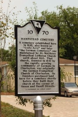
Hampstead Cemetery
A cemetery established here in 1841, also known as “God’s Acre” and later “the German Cemetery,” was maintained by St. Matthews Evangelical Lutheran Church until about 1860. That church, founded in 1840 by the rapidly-growing community of Germans in Charleston, was originally the German Evangelical Church of Charleston. Its founders purchased land here for a cemetery shortly before they built their church at the corner of Anson and Hasell Streets.
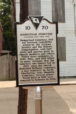
(Reverse text)
Hampstead Cemetery, laid out between cemeteries owned by the African Society and the Hebrew Congregation, sold half-plots and quarter-plots to church members and others. Yellow fever epidemics in 1849, 1852, and 1856 killed so many Germans that the cemetery was almost full by 1857, when the church dedicated Bethany Cemetery, a new cemetery in North Charleston, near Magnolia Cemetery. Several graves found here in 1982 were removed to Bethany in 2009.
Erected 2011 by The Housing Authority of the City of Charleston. (Marker Number 10-70.)
Topics. This historical marker is listed in this topic list: Cemeteries & Burial Sites. A significant historical year for this entry is 1841.
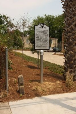
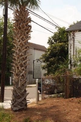
Location. 32° 47.604′ N, 79° 56.165′ W. Marker is in Charleston , South Carolina, in Charleston County. Marker is on Reid Street, on the right when traveling west. Located between America and Hanover Streets. Touch for map. Marker is at or near this postal address: 46 Reid Street, Charleston SC 29403, United States of America. Touch for directions.
Other nearby markers. At least 8 other markers are within walking distance of this marker. The John N. Tidemann House (approx. 0.2 miles away); Cigar Factory / “We Shall Overcome” (approx. ¼ mile away); 28 Chapel Street (approx. ¼ mile away); Camden Depot (approx. 0.3 miles away); The Civil War Submarine, H.L. Hunley (approx. 0.3 miles away); The Charleston Museum's Joseph Manigault House (approx. 0.3 miles away); Building a Nation (approx. 0.3 miles away); Bound For Glory (approx. 0.3 miles away). Touch for a list and map of all markers in Charleston.
Credits. This page was last revised on June 16, 2016. It was originally submitted on July 3, 2011, by Mike Stroud of Bluffton, South Carolina. This page has been viewed 976 times since then and 58 times this year. Photos: 1, 2, 3, 4. submitted on July 7, 2011, by Mike Stroud of Bluffton, South Carolina.


