Near Ohioville in Beaver County, Pennsylvania — The American Northeast (Mid-Atlantic)
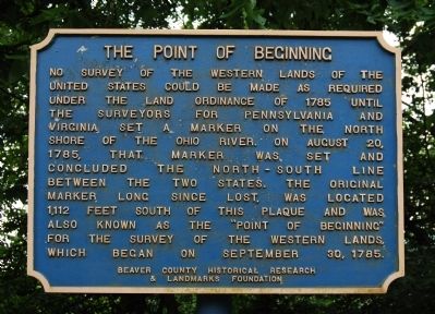
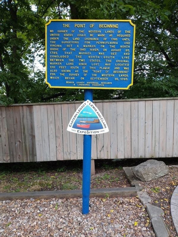
The Point of Beginning
Erected by Beaver County Historical Research and Landmarks Foundation.
Topics and series. This historical marker is listed in this topic list: Exploration. In addition, it is included in the Pennsylvania - Beaver County Historical Research and Landmarks Foundation series list. A significant historical month for this entry is September 1861.
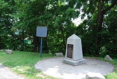
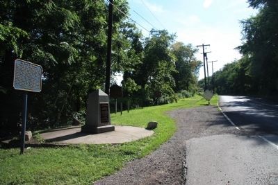
Location. 40° 38.551′ N, 80° 31.134′ W. Marker is near Ohioville, Pennsylvania, in Beaver County. Marker is on Midland Road (Pennsylvania Route 68/168) ¼ mile west of Calcutta Road, on the right when traveling east. Located in a pull off at the Pennsylvania/Ohio state line. Touch for map. Marker is in this post office area: Midland PA 15059, United States of America. Touch for directions.
Other nearby markers. At least 8 other markers are within one mile of this marker, measured as the crow flies. Down The Ohio (here, next to this marker); Gateway To The Northwest (a few steps from this marker in Ohio); Land Ordinance of 1785 / The Seven Ranges (a few steps from this marker in Ohio); Beginning Point of the U. S. Public Land Survey (a few steps from this marker in Ohio); The Sandy and Beaver Canal (approx. 0.4 miles away); Smiths Ferry (approx. 0.9 miles away); The Penna - Virginia Boundary (approx. 0.9 miles away); Georgetown (approx. one mile away).
Also see . . . Beaver County Historical Research & Landmarks Foundation. Foundation website homepage (Submitted on July 7, 2011, by Mike Wintermantel of Pittsburgh, Pennsylvania.)
Credits. This page was last revised on January 21, 2022. It was originally submitted on July 4, 2011, by Mike Wintermantel of Pittsburgh, Pennsylvania. This page has been viewed 1,274 times since then and 60 times this year. Photos: 1, 2. submitted on July 4, 2011, by Mike Wintermantel of Pittsburgh, Pennsylvania. 3. submitted on September 4, 2011, by Dale K. Benington of Toledo, Ohio. 4. submitted on July 8, 2021, by Craig Doda of Napoleon, Ohio.


