Downieville in Sierra County, California — The American West (Pacific Coastal)
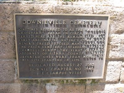
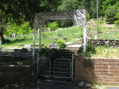
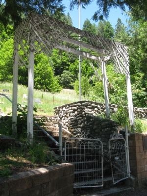
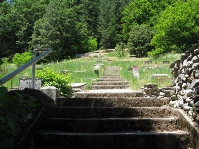
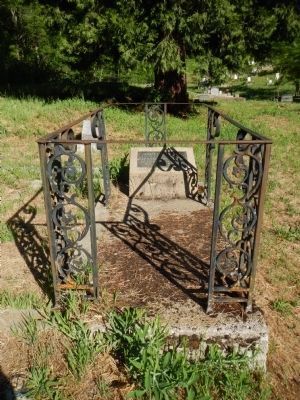
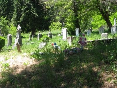
Downieville Cemetery
Erected 1983 by Major William Downie Chapter No. 1849, E Clampus Vitus.
Topics and series. This historical marker is listed in this topic list: Cemeteries & Burial Sites. In addition, it is included in the E Clampus Vitus series list. A significant historical year for this entry is 1860.
Location. 39° 34.071′ N, 120° 49.503′ W. Marker is in Downieville, California, in Sierra County. Marker is on Gold Bluff Road north of Main Street, on the left when traveling east. Touch for map. Marker is in this post office area: Downieville CA 95936, United States of America. Touch for directions.
Other nearby markers. At least 8 other markers are within walking distance of this marker. Major William Downie Cabin Site (approx. 0.3 miles away); Downieville Brewery (approx. 0.4 miles away); Downieville Foundry (approx. half a mile away); First Catholic Church (approx. half a mile away); Arrastra (approx. half a mile away); Downieville Museum (approx. half a mile away); Downieville (approx. half a mile away); Mackerman & Company Building (approx. half a mile away). Touch for a list and map of all markers in Downieville.
Credits. This page was last revised on June 16, 2016. It was originally submitted on July 6, 2011, by Syd Whittle of Mesa, Arizona. This page has been viewed 746 times since then and 24 times this year. Photos: 1, 2, 3, 4. submitted on July 6, 2011, by Syd Whittle of Mesa, Arizona. 5. submitted on June 14, 2013, by Barry Swackhamer of Brentwood, California. 6. submitted on July 6, 2011, by Syd Whittle of Mesa, Arizona.
