Marker Logo HMdb.org THE HISTORICAL
MARKER DATABASE
“Bite-Size Bits of Local, National, and Global History”
Goodyears Bar in Sierra County, California — The American West (Pacific Coastal)
 

Goodyears Bar


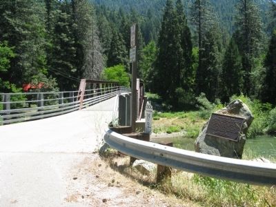
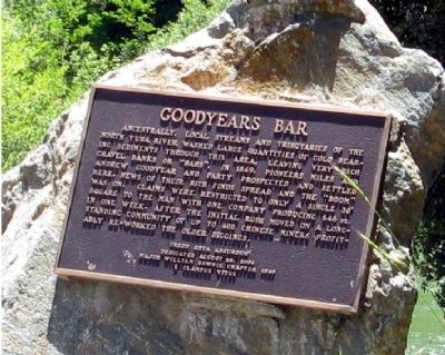
Goodyears Bar Marker image. Click for full size.
Photographed By Syd Whittle, June 27, 2011
1. Goodyears Bar Marker
Inscription. Ancestrally, local streams and tributaries of the North Yuba River washed large quantities of gold searing sediments through this area, leaving very rich gravel banks or “bars”. In 1849, pioneers Miles and Andrew Goodyear and party prospected and settled here. News of their rich finds spread and the “boom” was on. Claims were restricted to only a single 30’ square to the man with one company producing 646oz. in one week. After the initial rush moved on a long-standing community of up to 400 Chinese miners profitably re-worked the older diggings.
 
Erected 2004 by Major William Downie Chapter 1849, E Clampus Vitus.
 
Topics and series. This historical marker is listed in this topic list: Settlements & Settlers. In addition, it is included in the E Clampus Vitus series list. A significant historical year for this entry is 1849.
 
Location. 39° 32.444′ N, 120° 53.177′ W. Marker is in Goodyears Bar, California, in Sierra County. Marker is on Mountain House Road south of California Highway 49, on the right when traveling south. Marker is located at the bridge crossing the North Yuba River. Touch for map. Marker is in this post office area: Goodyears Bar CA 95944, United States of America. Touch for directions.
 
Other nearby markers. At least 8 other markers are within 4 miles of this marker, measured as the crow flies. Goodyears Bar Schoolhouse (about 500 feet away, measured
Paid Advertisement
Click on the ad for more information.
Please report objectionable advertising to the Editor.
Click or scan to see
this page online
in a direct line); The St. Charles Hotel (about 700 feet away); Mountain House (approx. 2.8 miles away); Cannon Point - California Volunteers Memorial (approx. 3.1 miles away); Downieville (approx. 3.1 miles away); Sierra County, California (approx. 3.2 miles away); Mountain Howitzers (approx. 3.2 miles away); Sierra County Sheriff’s Gallows (approx. 3.2 miles away). Touch for a list and map of all markers in Goodyears Bar.
 
Additional keywords. Gold Rush
 
Goodyears Bar Marker image. Click for full size.
Photographed By Syd Whittle, June 27, 2011
2. Goodyears Bar Marker
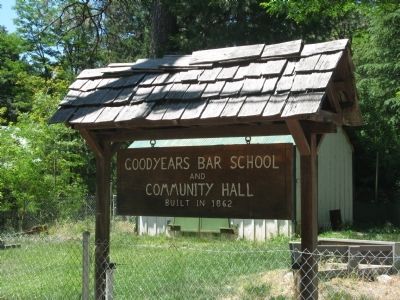
Goodyears Bar School and Community Hall image. Click for full size.
Photographed By Syd Whittle, June 27, 2011
3. Goodyears Bar School and Community Hall
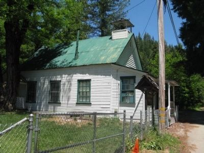
Goodyears Bar School image. Click for full size.
Photographed By Syd Whittle, June 27, 2011
4. Goodyears Bar School
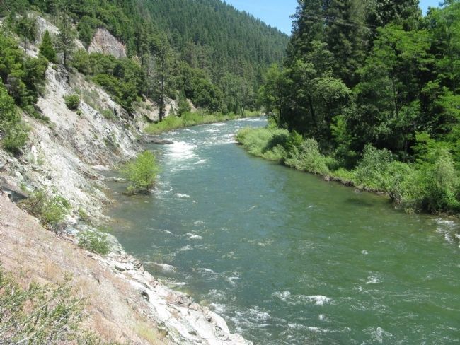
North Yuba River at Goodyears Bar image. Click for full size.
Photographed By Syd Whittle, June 27, 2011
5. North Yuba River at Goodyears Bar
 
 
Credits. This page was last revised on June 16, 2016. It was originally submitted on July 6, 2011, by Syd Whittle of Mesa, Arizona. This page has been viewed 606 times since then and 9 times this year. Photos:   1, 2, 3, 4. submitted on July 6, 2011, by Syd Whittle of Mesa, Arizona.   5. submitted on July 7, 2011, by Syd Whittle of Mesa, Arizona.
Share this page.  
Share on Tumblr
m=44290

CeraNet Cloud Computing sponsors the Historical Marker Database.
This website earns income from purchases you make after using our links to Amazon.com. We appreciate your support.
Paid Advertisement
Apr. 24, 2024