Near Burnsville in Yancey County, North Carolina — The American South (South Atlantic)
North Carolina / Tennessee
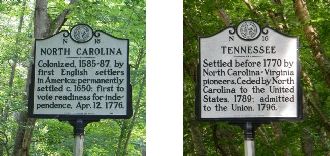
North Carolina. Colonized, 1585-87, by first English settlers in America; permanently settled c. 1650; first to vote readiness for independence, Apr. 12, 1776.
Tennessee. Settled before 1770 by North Carolina-Virginia pioneers. Ceded by North Carolina to the United States, 1789; admitted to the Union, 1796.
Erected 1941 by North Carolina Division of Archives and History. (Marker Number N-16.)
Topics and series. This historical marker is listed in these topic lists: Colonial Era • Political Subdivisions • Settlements & Settlers • War, US Revolutionary. In addition, it is included in the North Carolina Division of Archives and History series list. A significant historical date for this entry is April 12, 1650.
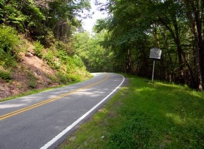
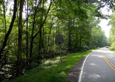
Location. 36° 2.139′ N, 82° 26.327′ W. Marker is near Burnsville, North Carolina, in Yancey County. Marker is on U.S. 19W, 1.8 miles east of Little Bald Creek Road, on the right when traveling east. The marker is located in the Pisgah National Forest. Touch for map. Marker is in this post office area: Burnsville NC 28714, United States of America. Touch for directions.
Other nearby markers. At least 8 other markers are within 11 miles of this marker, measured as the crow flies. Civil War in Tennessee (approx. 4.2 miles away in Tennessee); The Battle of Red Banks / Reunion for the Boys in Blue (approx. 6.1 miles away in Tennessee); Greasy Cove Racetrack (approx. 6.1 miles away in Tennessee); To the Women of the Confederacy (approx. 7.3 miles away in Tennessee); Unicoi County / The Town of Erwin (approx. 7.7 miles away in Tennessee); Blue Ridge Pottery (approx. 7.7 miles away in Tennessee); Lesley Riddle (approx. 10.6 miles away); Plum Grove (approx. 10.9 miles away in Tennessee).
Regarding North Carolina / Tennessee. While the original marker was cast in 1941, the current one dates back to 1985.
Credits. This page was last revised on July 2, 2021. It was originally submitted on July 20, 2011, by PaulwC3 of Northern, Virginia. This page has been viewed 509 times since then and 10 times this year. Photos: 1, 2, 3. submitted on July 20, 2011, by PaulwC3 of Northern, Virginia.


