Goshen in Elkhart County, Indiana — The American Midwest (Great Lakes)
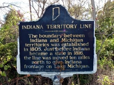
Indiana Territory Line
Erected 1966 by Indiana Sesquicentennial Commission. (Marker Number 20.1966.1.)
Topics and series. This historical marker is listed in these topic lists: Landmarks • Political Subdivisions. In addition, it is included in the Indiana Historical Bureau Markers series list. A significant historical year for this entry is 1805.
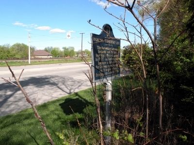
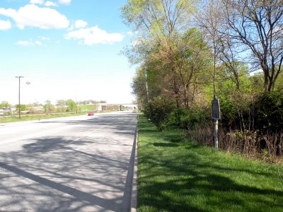
Location. 41° 36.983′ N, 85° 53.458′ W. Marker is in Goshen, Indiana, in Elkhart County. Marker is on U.S. 33, 0.3 miles north of County Road 17, on the right when traveling south. This stretch of US Highway 33 is known locally as Elkhart Road. Road signs may be marked as "US 33" or "Elkhart Road" or both. Touch for map. Marker is in this post office area: Goshen IN 46526, United States of America. Touch for directions.
Other nearby markers. At least 8 other markers are within 4 miles of this marker, measured as the crow flies. A. E. Kunderd Gladiolus Farm (approx. 0.8 miles away); The County Farm (approx. 1.1 miles away); Elkhart County Home Cemetery (approx. 1.4 miles away); St. John's Lutheran Church (approx. 2.6 miles away); Fort Wayne Street Bridge (approx. 2.7 miles away); Oakridge Cemetery (approx. 3.1 miles away); West Goshen Cemetery (approx. 3.3 miles away); Millrace Hydraulic Canal - Hawks Electric Company (approx. 3˝ miles away). Touch for a list and map of all markers in Goshen.
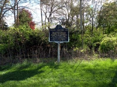
More about this marker. Marker can be difficult to see. It is located at the edge of some trees, partially overgrown, and is oriented parallel to the traveled portion of the roadway. This section of US 33 usually carries very heavy traffic.
Related markers. Click here for a list of markers that are related to this marker. To better understand the relationship, study each marker in the order shown.
Credits. This page was last revised on June 16, 2016. It was originally submitted on April 26, 2010, by Dave Zollinger of Goshen, Indiana. This page has been viewed 1,289 times since then and 19 times this year. Last updated on July 21, 2011, by Dave Zollinger of Goshen, Indiana. Photos: 1, 2, 3, 4. submitted on April 26, 2010, by Dave Zollinger of Goshen, Indiana. • Kevin W. was the editor who published this page.


