Altamont in Albany County, New York — The American Northeast (Mid-Atlantic)
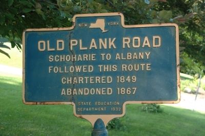
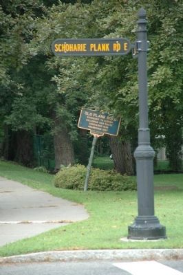
Old Plank Road
Followed this Route
Chartered 1849
Abandoned 1867
Erected 1932 by New York State Education Department.
Topics. This historical marker is listed in this topic list: Roads & Vehicles. A significant historical year for this entry is 1849.
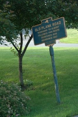
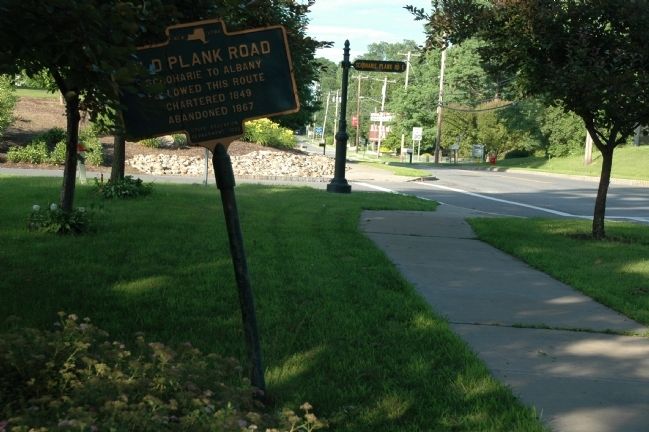
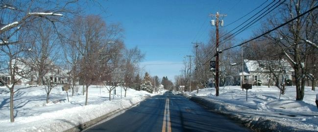
Location. 42° 42.199′ N, 74° 1.466′ W. Marker is in Altamont, New York, in Albany County. Marker is at the intersection of Main Street (New York State Route 146) and Schoharie Plank Road East, on the right when traveling west on Main Street. Touch for map. Marker is at or near this postal address: 112 Main Street, Altamont NY 12009, United States of America. Touch for directions.
Other nearby markers. At least 8 other markers are within walking distance of this marker. Severson House (a few steps from this marker); Family Cemetery (about 700 feet away, measured in a direct line); Altamont, New York (approx. 0.2 miles away); Knowersville (approx. 0.2 miles away); Dr F. Crounse (approx. ¼ mile away); Knower House (approx. ¼ mile away); Altamont High School (approx. 0.3 miles away); Inn of Jacob Crounse (approx. 0.3 miles away). Touch for a list and map of all markers in Altamont.
Regarding Old Plank Road. From about 1840 to the Civil War, hundreds of miles of plank roads were built by franchised companies that charged a toll. The idea had originated in Canada, and the roads were popular because horses could haul much bigger loads over the smooth wooden surfaces. Hemlock plank of little value for anything else, was usually used, but it wore out faster than anyone had anticipated, and the resulting high cost of maintenance killed the plank road companies.
Also see . . .
1. The Albany-Schoharie Plank Road. Welcome to the Hilltowns website entry (Submitted on July 22, 2011, by Howard C. Ohlhous of Duanesburg, New York.)
2. Albany-Schoharie Plank Road. Helderburg Hilltowns webpage entry (Submitted on July 22, 2011, by Howard C. Ohlhous of Duanesburg, New York.)
Photographed By Howard C. Ohlhous, October 12, 2014
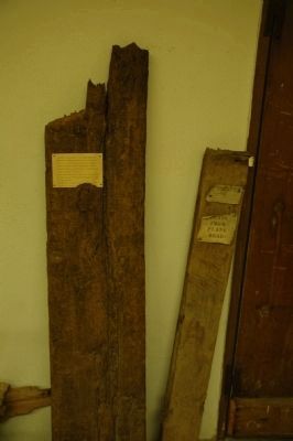
6. Old Plank Road on Display
This piece of the Old Plank Road is on display in the William W. Badgley Museum Annex of the Old Stone Fort in Schoharie. The display caption reads;
"Section of plank from the "Old Plank Road" which began on the Western Turnpike (now N.Y.S. RT.20) nine miles west of Albany and in 1850 extended through Altamont, Gallupville, Schoharie, Warnerville, Richmondville and Summit to Charlotteville, a total distance of 45 miles. 8 foot planks were laid on 4x4 inch hemlock stringers upon one side of the graded highway at a cost of $ 380 per mile. Over this road a stage line was operated and the farmers hauled their grain..."
Credits. This page was last revised on June 12, 2022. It was originally submitted on July 22, 2011, by Howard C. Ohlhous of Duanesburg, New York. This page has been viewed 996 times since then and 29 times this year. Photos: 1, 2, 3. submitted on July 22, 2011, by Howard C. Ohlhous of Duanesburg, New York. 4. submitted on February 9, 2013, by Howard C. Ohlhous of Duanesburg, New York. 5. submitted on August 3, 2014, by Howard C. Ohlhous of Duanesburg, New York. 6. submitted on October 12, 2014, by Howard C. Ohlhous of Duanesburg, New York. • Bill Pfingsten was the editor who published this page.
