Near North Webster in Kosciusko County, Indiana — The American Midwest (Great Lakes)
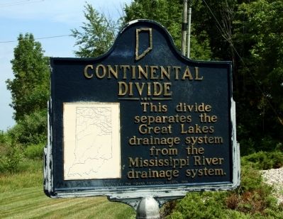
Continental Divide
Erected 1968 by Indiana Historical Society. (Marker Number 43.1968.1.)
Topics and series. This historical marker is listed in this topic list: Natural Features. In addition, it is included in the Indiana Historical Bureau Markers series list.
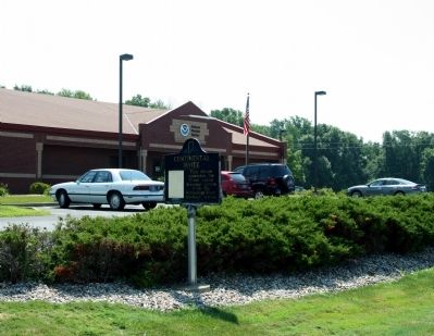
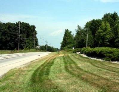
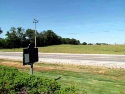
Location. 41° 21.517′ N, 85° 42.067′ W. Marker is near North Webster, Indiana, in Kosciusko County. Marker is at the intersection of State Road 13 and County Road 850N, on the right when traveling north on State Road 13. Marker is just north of the intersection. Park in parking lot for National Weather Service office. Touch for map. Marker is in this post office area: North Webster IN 46555, United States of America. Touch for directions.
Other nearby markers. At least 8 other markers are within 5 miles of this marker, measured as the crow flies. North Webster Cemetery (approx. 2 miles away); The Dixie (approx. 2˝ miles away); Greider / Oak Grove Cemetery (approx. 2.8 miles away); Indian Oven (approx. 3.2 miles away); Chief Papakeecha’s House (approx. 3.3 miles away); Mock Cemetery (approx. 3.8 miles away); Papakeechie's Reserve (approx. 4.1 miles away); Wilmot (approx. 4˝ miles away). Touch for a list and map of all markers in North Webster.
Credits. This page was last revised on March 21, 2023. It was originally submitted on July 23, 2011, by Dave Zollinger of Goshen, Indiana. This page has been viewed 3,858 times since then and 268 times this year. Photos: 1, 2, 3. submitted on July 23, 2011, by Dave Zollinger of Goshen, Indiana. 4. submitted on July 23, 2014, by Duane Hall of Abilene, Texas. • Bill Pfingsten was the editor who published this page.


