Near Bessemer in Gogebic County, Michigan — The American Midwest (Great Lakes)
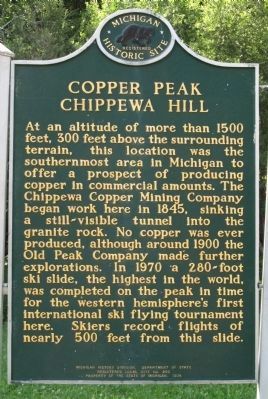
Copper Peak Chippewa Hill
Photographed by Paul Fehrenbach, July 18, 2011
1. Copper Peak Chippewa Hill Marker
Erected 1974 by Michigan History Division, Department of State. (Marker Number L0292.)
Topics and series. This historical marker is listed in this topic list: Sports. In addition, it is included in the Michigan Historical Commission series list. A significant historical year for this entry is 1500.
Location. 46° 35.921′ N, 90° 5.304′ W. Marker is near Bessemer, Michigan, in Gogebic County. It is on Copper Peak Road half a mile north of Black River Parkway (County Route 513), on the left when traveling north. Touch for map. Marker is in this post office area: Bessemer MI 49911, United States of America. Touch for directions.

Regionally, this marker is on the Upper Peninsula. It is also in the American Midwest and on Lake Superior’s South Shore Region. Globally, it is in North America, in the Great North Woods, on the Great Lakes, in the Western Hemisphere, in the Western World, and in the Anglosphere. Historically, it finds itself in what was once the Northwest Territory.
Other nearby markers. At least 8 other markers are within 11 miles of this marker, measured as the crow flies: Gogebic Iron Range (approx. 8.7 miles away); Memory Lane Highway (approx. 8.7 miles away);
this page online
Photographed by Paul Fehrenbach, July 18, 2011
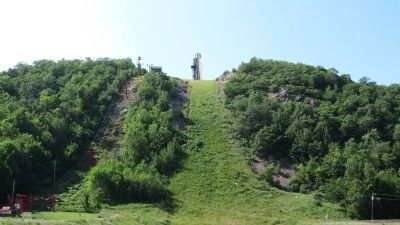
2. Looking up hill with lift and jump
Photographed by Paul Fehrenbach, July 18, 2011
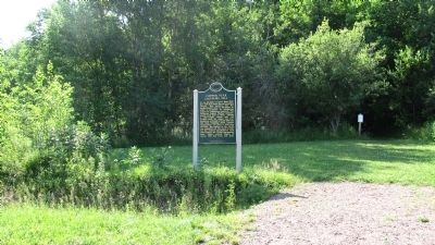
3. Copper Peak Chippewa Hill Marker
Photographed by Paul Fehrenbach, July 18, 2011
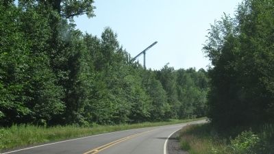
4. Back side of ski jump from Black River Parkway.
Photographed by Paul Fehrenbach, July 18, 2011
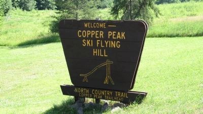
5. Copper Peak Ski Flying Hill
Photographed by Paul Fehrenbach, July 18, 2011
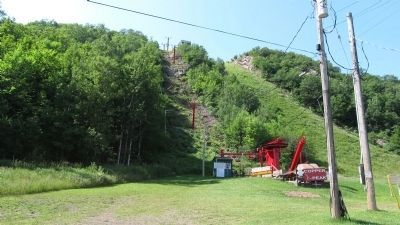
6. Base of the hill and lift.
Photographed by Paul Fehrenbach, July 18, 2011
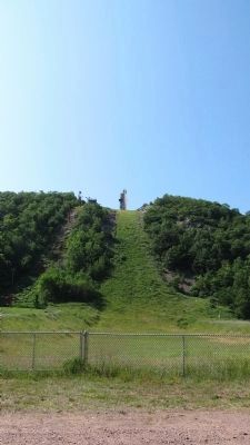
7. From base of hill looking up to ski jump.
Credits. This page was last revised on August 5, 2021. It was originally submitted on July 25, 2011, by Paul Fehrenbach of Richfield, Wisconsin. This page has been viewed 1,200 times since then and 43 times this year. Photos: 1, 2, 3, 4, 5, 6, 7. submitted on July 25, 2011, by Paul Fehrenbach of Richfield, Wisconsin. • Bill Pfingsten was the editor who published this page.
