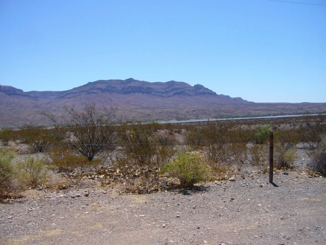
Near Caballo in Sierra County, New Mexico — The American Mountains (Southwest)
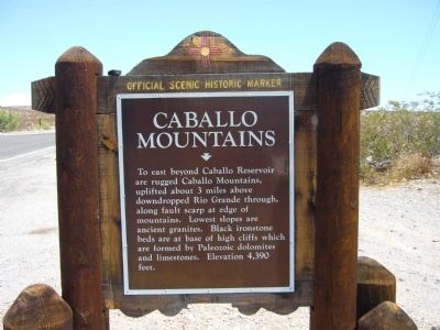
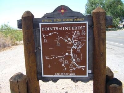
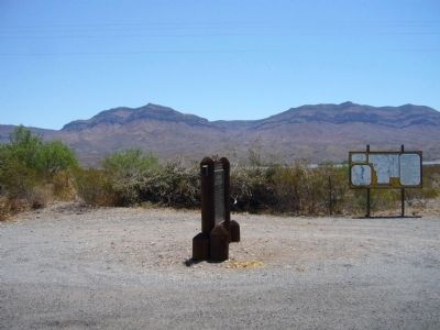
Caballo Mountains
Erected by New Mexico Historic Preservation Division.
Topics and series. This historical marker is listed in this topic list: Natural Features. In addition, it is included in the El Camino Real de Tierra Adentro series list.
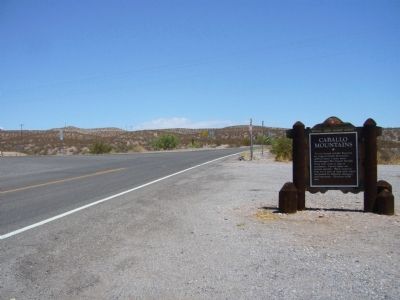
Location. 32° 57.176′ N, 107° 18.712′ W. Marker is near Caballo, New Mexico, in Sierra County. Marker is at the intersection of State Road 187 and State Road 152, on the right when traveling north on State Road 187. Marker is 1000 feet east of exit 63 from I-25. Touch for map. Marker is in this post office area: Caballo NM 87931, United States of America. Touch for directions.
Other nearby markers. At least 5 other markers are within 16 miles of this marker, measured as the crow flies. Truth or Consequences (approx. 11.6 miles away); Magnolia Ellis, “Magnificent Magnolia” (approx. 12.7 miles away); Elephant Butte Lake State Park (approx. 13 miles away); a different marker also named Truth or Consequences (approx. 13.8 miles away); Elephant Butte Dam (approx. 15½ miles away).
Credits. This page was last revised on June 16, 2016. It was originally submitted on July 27, 2011, by Bill Kirchner of Tucson, Arizona. This page has been viewed 865 times since then and 33 times this year. Photos: 1, 2, 3, 4, 5. submitted on July 27, 2011, by Bill Kirchner of Tucson, Arizona. • Syd Whittle was the editor who published this page.
