
Lake Township near Council Bluffs in Pottawattamie County, Iowa — The American Midwest (Upper Plains)
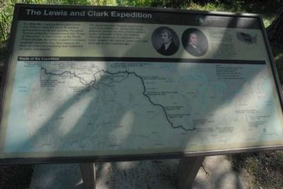
The Lewis and Clark Expedition
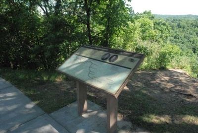
Photographed by Charles T. Harrell, June 28, 2011
1. The Lewis and Clark Expedition Marker
Erected by National Park Service, U.S. Department of the Interior.
Topics and series. This
this page online
Location. This marker has been replaced by another marker nearby. It was located near 41° 18.201′ N, 95° 51.483′ W. Marker was near Council Bluffs, Iowa, in Pottawattamie County. It was in Lake Township. It could be reached from Monument Road 0.8 miles north of Mynster Springs Road. This marker is found at the Lewis and Clark Park in Council Bluffs, Iowa near to the Monument. Touch for map. Marker was at or near this postal address: 19962 Monument Rd, Crescent IA 51526, United States of America. Touch for directions.

Regionally, this marker was in Western Iowa, in Loess Hills, and in Greater Omaha. It was also in the American Midwest, in the Lewis & Clark Corridor, and in the Corn Belt. Globally, it was in North America, the Western Hemisphere, the Western World, and the Anglosphere. Historically, it found itself in what was once the territory of the Mississippian Culture and also the Louisiana
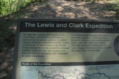
Photographed by Charles T. Harrell, June 28, 2011
2. The Lewis and Clark Expedition Marker
Other nearby markers. At least 8 other markers are within 3 miles of this location, measured as the crow flies: The Lewis & Clark Expedition (here, next to this marker); Lewis and Clark Monument (a few steps from this marker); Anticipating an Indian Council (within shouting distance of this marker); Like A Bald Man’s Head (within shouting distance of this marker); Colonel William H. Kinsman (approx. 2.2 miles away); (missing) ... Was York (approx. 2½ miles away in Nebraska); Profitable Possibilities (approx. 2½ miles away in Nebraska); Abraham Lincoln's 1859 Visit (approx. 2½ miles away). Touch for a list and map of all markers in Council Bluffs.
Another marker is no longer nearby. Anticipating An Indian Council (was within shouting distance of this marker but has been replaced with another marker now near it).
Related marker. Click here for another marker that is related to this marker. To better understand the relationship, study each marker in the order shown.
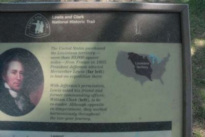
Photographed by Charles T. Harrell, June 28, 2011
3. The Lewis and Clark Expedition Marker
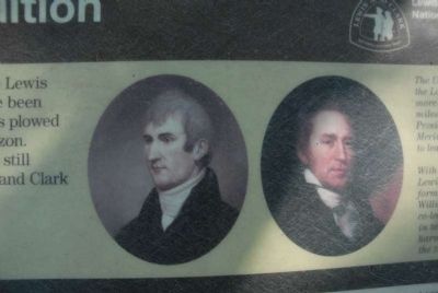
Photographed by Charles T. Harrell, June 28, 2011
4. The Lewis and Clark Expedition Marker
Photographed by Charles T. Harrell, June 28, 2011
5. The Lewis and Clark Expedition Marker
Credits. This page was last revised on January 13, 2025. It was originally submitted on July 27, 2011, by Charles T. Harrell of Woodford, Virginia. This page has been viewed 1,026 times since then and 22 times this year. Photos: 1, 2, 3, 4, 5. submitted on July 27, 2011, by Charles T. Harrell of Woodford, Virginia. • Bill Pfingsten was the editor who published this page.
