We Were All Busily Engaged
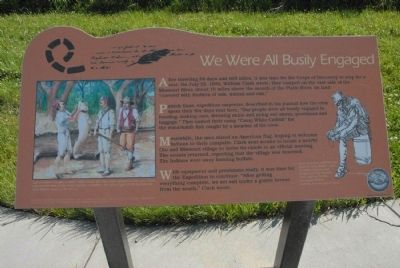
Patrick Gass, expedition carpenter, described in his journal how the crew spent their five days near here. “Our people were all busily engaged in hunting, making oars, dressing skins and airing our stores, provisions and baggage.” They named their camp “Camp White Catfish” for the remarkable fish caught by a member of the crew.
Meanwhile, the men raised an American flag, hoping to welcome Indians to their campsite. Clark sent scouts to locate a nearby Oto and Missouri village to invite its chiefs to an official meeting. The scouts returned, reporting that the village was deserted. The Indians were away hunting buffalo.
With equipment and provisions ready, it was time for the expedition to continue. “After getting everything complete, we set sail under a gentle breeze from the south,” Clark wrote.
Graphic 1 Salas Goodrich caught a white catfish when the men were camped in this area. Lewis said the fish was white, had a tail like a dolphin, and was a type of fish he had not seen before.
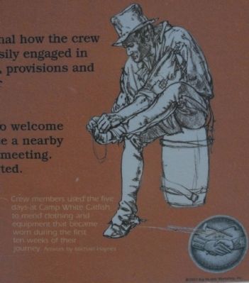
Artwork by Will Thomson. Graphic 2 Crew members used the five days at Camp White Catfish to mend clothing and equipment that became worn during the first ten weeks of their journey.Topics and series. This historical marker is listed in this topic list: Exploration. In addition, it is included in the Lewis & Clark Expedition series list. A significant historical date for this entry is July 22, 1804.
Location. 41° 13.687′ N, 95° 53.991′ W. Marker is in Council Bluffs, Iowa, in Pottawattamie County. Marker is on 34th Ave.. Marker is located on pathway to the Western Trails Historic Center, Lied Historical Building. Touch for map. Marker is at or near this postal address: 3434 Richard Downing Ave, Council Bluffs IA 51501, United States of America. Touch for directions.
Other nearby markers. At least 8 other markers are within 3 miles of this marker, measured as the crow flies. Western Historic Trails Center; Starting the Journey (here, next to this marker); Seeking Buyers and Sellers (here, next to this marker); Gallagher Building (approx. 2 miles away in Nebraska); Golden Spike Monument (approx. 2.2 miles away); Omaha Union Station (approx. 2.2 miles away in Nebraska); a different marker also named Omaha Union Station (approx. 2.2 miles away in Nebraska); Windsor Hotel (approx. 2.4 miles away in Nebraska); Anheuser-Busch Beer Depot 1887 (approx. 2.4 miles away in Nebraska). Touch for a list and map of all markers in Council Bluffs.
Credits. This page was last revised on June 16, 2016. It was originally submitted on July 28, 2011, by Charles T. Harrell of Woodford, Virginia. This page has been viewed 745 times since then and 19 times this year. Photos: 1, 2, 3. submitted on July 28, 2011, by Charles T. Harrell of Woodford, Virginia. • Bill Pfingsten was the editor who published this page.


