Near Lemitar in Socorro County, New Mexico — The American Mountains (Southwest)
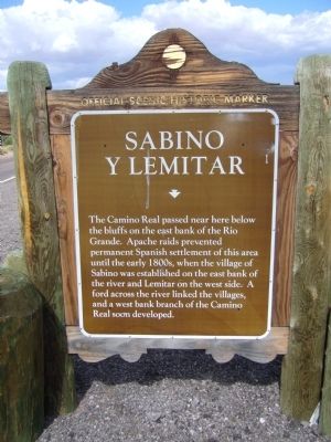
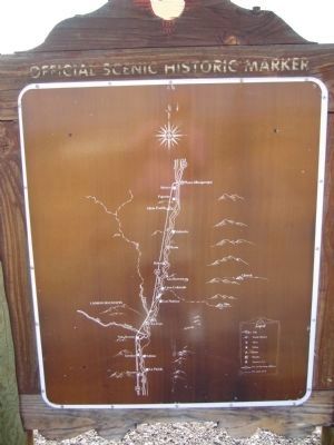
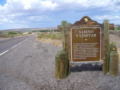
Sabino y Lemitar
Erected by New Mexico Historic Preservation Division.
Topics and series. This historical marker is listed in these topic lists: Exploration • Settlements & Settlers. In addition, it is included in the El Camino Real de Tierra Adentro series list.
Location. 34° 9.485′ N, 106° 54.964′ W. Marker is near Lemitar, New Mexico, in Socorro County. Marker is at the intersection of Calle de Lemitar and Interstate 25, on the right when traveling east on Calle de Lemitar. Marker is just east of exit 156 from I-25. Touch for map. Marker is in this post office area: Lemitar NM 87823, United States of America. Touch for directions.
Other nearby markers. At least 8 other markers are within 7 miles of this marker, measured as the crow flies. New Mexico Bureau of Mines and Mineral Resources Museum (approx. 6.3 miles away); New Mexico Tech (approx. 6.3 miles away); For Southern Independence (approx. 6.7 miles away); Edward S. Stapleton House (approx. 6.9 miles away); Juan Jose Baca House (approx. 7 miles away); Socorro (approx. 7 miles away); The Garcia Opera House (approx. 7 miles away); Jesus Maria Torres House (approx. 7 miles away).
Credits. This page was last revised on June 16, 2016. It was originally submitted on July 28, 2011, by Bill Kirchner of Tucson, Arizona. This page has been viewed 739 times since then and 25 times this year. Photos: 1, 2, 3. submitted on July 28, 2011, by Bill Kirchner of Tucson, Arizona. • Syd Whittle was the editor who published this page.


