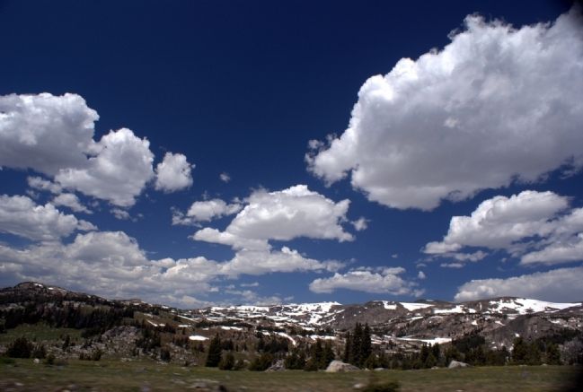
Near Red Lodge in Carbon County, Montana — The American West (Mountains)
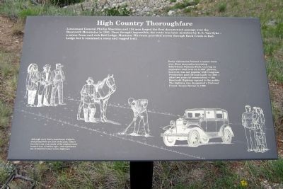
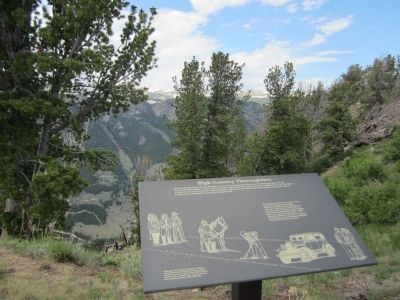
High Country Thoroughfare
Although early Native Americans, trappers and prospectors are part of the past, today’s travelers can cross much of the original route created over a century ago… and experience one of America’s most scenic highways.
Early visionaries foresaw a scenic route over these mountains accessing Yellowstone National Park. Carving an expensive road over an 11,000’ plateau, however, was not popular with Congress. Persistence paid off and finally in 1936 — after two years of construction — the Beartooth Highway opened to the public. The highway was designated a National Forest Scenic Byway in 1989.
Topics. This historical marker is listed in these topic lists: Exploration • Roads & Vehicles. A significant historical year for this entry is 1881.
Location. 45° 2.601′ N, 109° 24.437′ W. Marker is near Red Lodge, Montana, in Carbon County. Marker can be reached from Beartooth Highway (U.S. 212) 8.2 miles west of Rock Creek Road, on the right when traveling east. Marker is located at the Rock Creek Vista Point Rest Area (elevation 9190'). Touch for map. Marker is in this post office area: Red Lodge MT 59068, United States of America. Touch for directions.
Other nearby markers. At least 8 other markers are within 13 miles of this marker, measured as the crow flies. The Beartooth Plateau (approx. 12.1 miles away); Red Lodge (approx. 12.1 miles away); The Red Lodge Country (approx. 12.1 miles away); Neithammer Brothers Meat Market (approx. 12˝ miles away); Roman Theatre (approx. 12.6 miles away); W.R. Hall Building (approx. 12.6 miles away); Montana Bakery (approx. 12.6 miles away); Red Lodge Commercial District (approx. 12.6 miles away). Touch for a list and map of all markers in Red Lodge.
Also see . . . Beartooth All-American Road. Friends of the Beartooth All-American Road (Submitted on July 30, 2011, by Bernard Fisher of Richmond, Virginia.)
Credits. This page was last revised on June 16, 2016. It was originally submitted on July 30, 2011, by Bernard Fisher of Richmond, Virginia. This page has been viewed 652 times since then and 19 times this year. Photos: 1, 2, 3, 4. submitted on July 30, 2011, by Bernard Fisher of Richmond, Virginia. 5. submitted on August 1, 2011, by Bernard Fisher of Richmond, Virginia.
