Keystone in Pennington County, South Dakota — The American Midwest (Upper Plains)
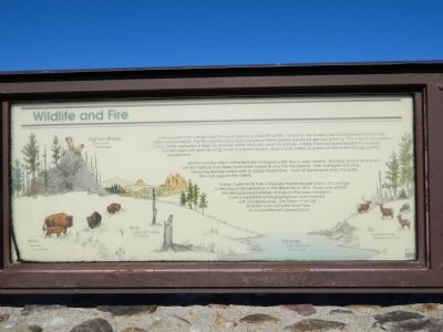
Wildlife and Fire
Photographed by Beverly Pfingsten, June 7, 2011
1. Wildlife and Fire Marker
Another positive effect of the fire is the increased water flow in area streams. Because grasses and shrubs use less moisture than trees, more water makes its way into the streams. Park managers are using measuring devices called weirs to gauge stream flow. Trout will be stocked when the water flow can support their needs.
Today, Custer State Park is more like the landscape that Lt. Col.George Custer saw on his expedition to the Black Hills in 1874. Those who settled the Hills suppressed wildfires, and slowly the open meadows Custer's expedition photographed became covered with ponderosa pine. The Galena Fire has returned much of
this page online
Topics. This historical marker is listed in these topic lists: Animals • Disasters. A significant historical year for this entry is 1874.
Location. 43° 47.378′ N, 103° 21.052′ W. Marker is in Keystone, South Dakota, in Pennington County. It is on U.S. 16. Marker is in Custer State Park. There is an entry fee. Touch for map. Marker is in this post office area: Keystone SD 57751, United States of America. Touch for directions.

Regionally, this marker is in South Dakota’s West River, in the Badlands, and in Greater Rapid City. It is also in the American Black Hills, in the Lewis & Clark Corridor, on the prairies, and on the Northern Plains. Globally, it is in North America, the Western Hemisphere, the Western World, and the Anglosphere. Historically, it finds itself in what was once Rupert’s Land and also the Louisiana Purchase.
Other nearby markers. At least 8 other markers are within 5 miles of this marker, measured as the crow flies: The Galena Fire Chronology (here, next to this marker); After the Fire (here, next to this marker); State Game Lodge (approx.
Photographed by Beverly Pfingsten, June 7, 2011
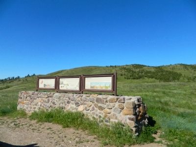
2. Wildlife and Fire Marker
Photographed by Beverly Pfingsten, June 7, 2011
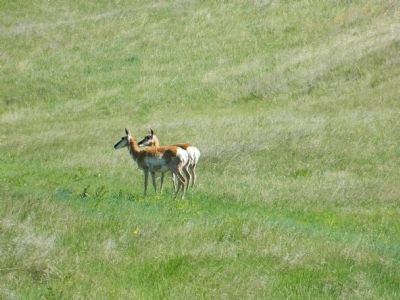
3. Pronghorn in Custer State Park
Photographed by Beverly Pfingsten, June 7, 2011
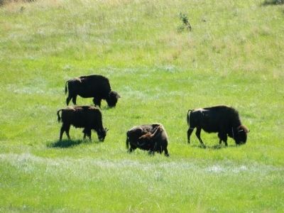
4. Buffalo in Custer State Park
Credits. This page was last revised on June 16, 2016. It was originally submitted on August 1, 2011, by Bill Pfingsten of Bel Air, Maryland. This page has been viewed 792 times since then and 15 times this year. Photos: 1, 2, 3, 4. submitted on August 1, 2011, by Bill Pfingsten of Bel Air, Maryland.
