Dudgeon-Monroe in Madison in Dane County, Wisconsin — The American Midwest (Great Lakes)
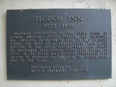
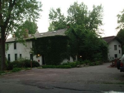
Plough Inn
1853, 1858
Erected 1975 by the Madison Landmarks Commission. (Marker Number 41.)
Topics and series. This historical marker is listed in these topic lists: Notable Buildings • Settlements & Settlers. In addition, it is included in the Wisconsin, Madison Landmarks Commission series list. A significant historical year for this entry is 1858.
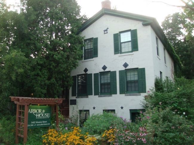
Location. 43° 3.203′ N, 89° 26.096′ W. Marker is in Madison, Wisconsin, in Dane County. It is in Dudgeon-Monroe. Marker is at the intersection of Monroe Street and Copeland Street, on the right when traveling south on Monroe Street. Touch for map. Marker is at or near this postal address: 3402 Monroe Street, Madison WI 53711, United States of America. Touch for directions.
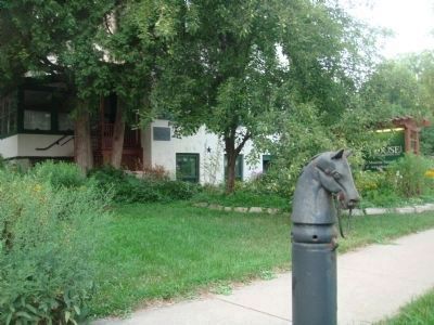
Other nearby markers. At least 8 other markers are within walking distance of this marker. A different marker also named Plough Inn (here, next to this marker); Glenwood Children's Park (about 700 feet away, measured in a direct line); Old Spring Tavern (approx. ¼ mile away); Old Spring Hotel (approx. ¼ mile away); John M. Olin (approx. 0.4 miles away); Jacobs House I (approx. half a mile away); Nakoma (approx. half a mile away); In Memory of Our Beloved Sons (approx. half a mile away). Touch for a list and map of all markers in Madison.
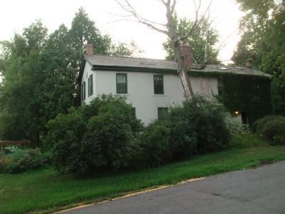
Regarding Plough Inn. According to the Madison Landmarks Commission, "The original structure on this site was a stone house built for German immigrants Frederick and Amelia Paunack. Mr. Paunack was a stonecutter and probably cut the sandstone for his house from the nearby quarry that is now Glenwood Children's Park [see the nearby marker]. In 1858 a larger two-story brick section was added in front of the small house. The bricks came from a brickyard near the Old Spring Tavern [see the nearby marker] on Nakoma Road. The front section is in the vernacular Greek Revival style. The stone and brick were covered with stucco in the early 20th century. The Plough Inn, established by John and Isabella Whare about the time the brick section was built, served as a road house for people traveling to and from the southwestern parts of Wisconsin,
including Monroe (hence, Monroe Street) and Wiota (hence nearby Wyota Ave.). The Plough Inn was a favorite jaunt for soldiers living at Camp Randall during the Civil War and continued to be used as a tavern into the 20th century."
Credits. This page was last revised on February 16, 2023. It was originally submitted on August 3, 2011, by William J. Toman of Green Lake, Wisconsin. This page has been viewed 612 times since then and 14 times this year. Photos: 1, 2, 3, 4, 5. submitted on August 3, 2011, by William J. Toman of Green Lake, Wisconsin.
