Little Canada in Ramsey County, Minnesota — The American Midwest (Upper Plains)
Gervais Grist Mill
Photographed by McGhiever, September 15, 2023
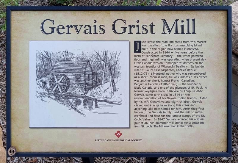
1. Gervais Grist Mill Marker
Just across the road and creek from this marker was the site of the first commercial grist mill built in the region now named Minnesota. Constructed in 1844 -- five years before the birth of Minnesota Territory -- the water-powered flour and meal mill was operating when present day Little Canada was an unmapped wilderness on the western frontier of Wisconsin Territory. Its builder was St. Paul's first carpenter, Charles Bazille (1812-78), a Montreal native who was remembered as a short, "honest man, full of kindness." Its owner was another short, honest French Canadian, Benjamin Gervais (1786-1876) -- the founder of Little Canada, and one of the pioneers of St. Paul. A former voyageur born in Riviere du Loup, Quebec, Gervais came to this site in 1844 on the recommendation of his Dakota Indian friends. Aided by his wife Genevieve and eight children, Gervais carved out a large farm along this creek and adjoining lake now named for him. After their first harvest, the Gervais family used the mill to make cornmeal and flour for the lumber camps of the St. Croix Valley. In 1847 Gervais replaced his original pair of 36 inch
this page online
Erected by the Little Canada Historical Society.
Topics. This historical marker is listed in these topic lists: Industry & Commerce • Settlements & Settlers. A significant historical year for this entry is 1844.
Location. 45° 1.334′ N, 93° 4.753′ W. Marker is in Little Canada, Minnesota, in Ramsey County. It is on Noel Drive 0.1 miles north of Little Canada Road, on the right when traveling north. The marker is at Gervais Mill Park. Touch for map. Marker is in this post office area: Saint Paul MN 55117, United States of America. Touch for directions.

Regionally, this marker is in the Twin Cities Metropolitan Area. It is also in the American Midwest, in the Corn Belt, and in the Great River Road Region. Globally, it is in North America, the Western Hemisphere, the Western World, and the Anglosphere. Historically, it finds itself in what was once Rupert’s Land, the territory of the Mississippian Culture, and the Louisiana Purchase.
Other nearby markers. At least 8 other markers are within 3 miles of this marker, measured
Photographed by McGhiever, September 15, 2023
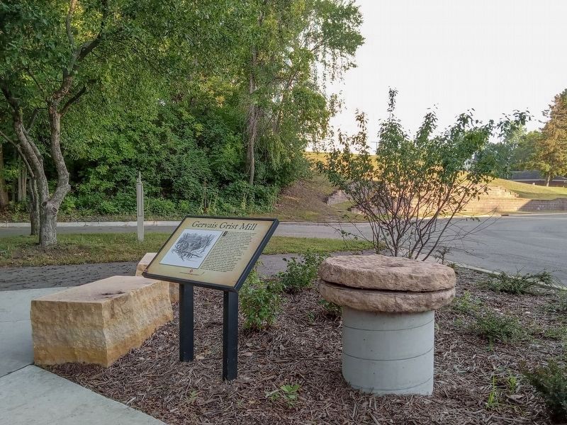
2. Gervais Grist Mill Marker and millstones

Photographed by K. Linzmeier, July 23, 2011
3. Former Gervais Grist Mill Marker with nearly identical text

Photographed by K. Linzmeier, July 23, 2011
4. Former Gervais Grist Mill Marker

Photographed by K. Linzmeier, July 23, 2011
5. Former Gervais Grist Mill Marker
Photographed by K. Linzmeier, July 23, 2011
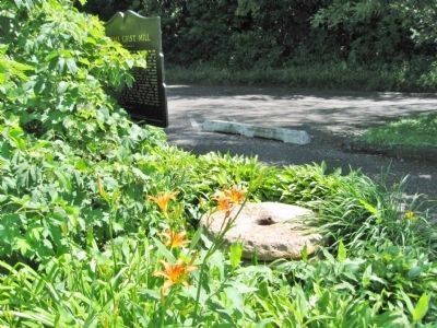
6. Granite Mill Stones
Photographed by K. Linzmeier, July 23, 2011
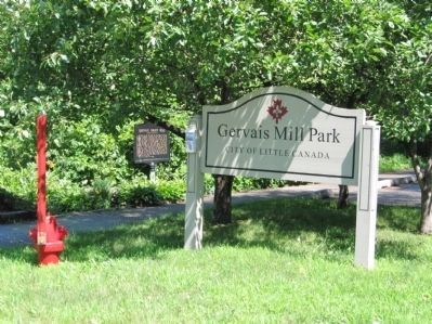
7. Gervais Mill Park
Photographed by K. Linzmeier, July 23, 2011
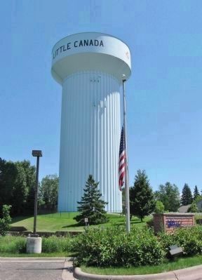
8. Little Canada Water Tower
The marker is northeast (left) of the water tower.
Credits. This page was last revised on September 3, 2026. It was originally submitted on August 4, 2011, by Keith L of Wisconsin Rapids, Wisconsin. This page has been viewed 2,039 times since then and 95 times this year. Photos: 1, 2. submitted on September 3, 2026, by McGhiever of Minneapolis, Minnesota. 3, 4, 5, 6, 7, 8. submitted on August 4, 2011, by Keith L of Wisconsin Rapids, Wisconsin.
