Near Syria in Madison County, Virginia — The American South (Mid-Atlantic)
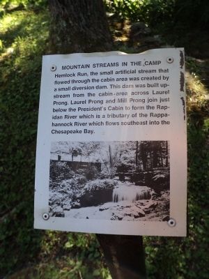
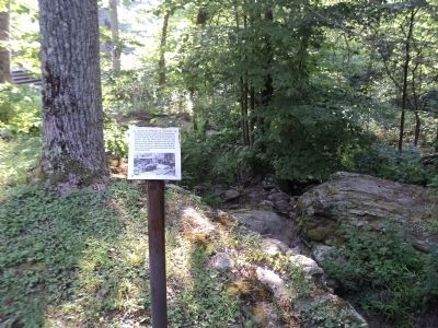
Mountain Streams in the Camp
Erected by National Park Service.
Topics. This historical marker is listed in this topic list: Notable Places.
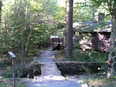
Location. 38° 29.426′ N, 78° 25.193′ W. Marker is near Syria, Virginia, in Madison County. Marker can be reached from Rapidan Road, on the left when traveling west. Marker is located at Rapidan Camp in Shenandoah National Park, at the end of Rapidan Road. Touch for map. Marker is in this post office area: Syria VA 22743, United States of America. Touch for directions.
Other nearby markers. At least 8 other markers are within walking distance of this marker. The Prime Minister’s Cabin (here, next to this marker); A Rather Biggish Establishment (a few steps from this marker); Recreational Pursuits (a few steps from this marker); Famous Town Hall Visitors (within shouting distance of this marker); Town Hall (within shouting distance of this marker); Town Hall on Town Hall (within shouting distance of this marker); The President’s Quarters (within shouting distance of this marker); Outdoor Fireplace (within shouting distance of this marker). Touch for a list and map of all markers in Syria.
More about this marker. A photo of the Hemlock Run in Camp Hoover appears at the bottom of the marker.
Also see . . .
1. President Herbert and Lou Henry Hoover's Rapidan Camp. National Park Service website. (Submitted on August 5, 2011, by Bill Coughlin of Woodland Park, New Jersey.)
2. Biography of Herbert Hoover. The White House website. (Submitted on August 5, 2011, by Bill Coughlin of Woodland Park, New Jersey.)
Credits. This page was last revised on November 1, 2020. It was originally submitted on August 5, 2011, by Bill Coughlin of Woodland Park, New Jersey. This page has been viewed 453 times since then and 11 times this year. Photos: 1, 2, 3. submitted on August 5, 2011, by Bill Coughlin of Woodland Park, New Jersey.


