Auburn in Fauquier County, Virginia — The American South (Mid-Atlantic)
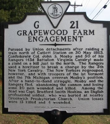
Grapewood Farm Engagement
Erected 1994 by Department of Historic Resources. (Marker Number G-21.)
Topics and series. This historical marker is listed in this topic list: War, US Civil. In addition, it is included in the Virginia Department of Historic Resources (DHR) series list. A significant historical date for this entry is May 30, 1863.
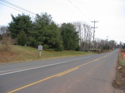
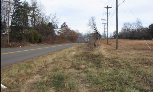
Location. 38° 44.144′ N, 77° 41.032′ W. Marker is in Auburn, Virginia, in Fauquier County. Marker is at the intersection of Rogues Road (County Route 602) and Grapewood Drive (Local Route 1521), on the right when traveling west on Rogues Road. Touch for map. Marker is in this post office area: Warrenton VA 20187, United States of America. Touch for directions.
Other nearby markers. At least 8 other markers are within 3 miles of this marker, measured as the crow flies. Vint Hill Farms Station (approx. 0.6 miles away); Greenwich (approx. 2.2 miles away); Stony Lonesome Farm (approx. 2.2 miles away); a different marker also named “Greenwich” (approx. 2.2 miles away); Neavil's Ordinary (approx. 2.3 miles away); Neavil’s Mill (approx. 2.4 miles away); Battle of Coffee Hill (approx. 2½ miles away); Second Battle of Auburn (approx. 2½ miles away). Touch for a list and map of all markers in Auburn.
Also see . . .
1. The Mosby Gun. The gun captured here eventually found its way to the 45th Infantry Division Museum in Oklahoma City, OK. If the weapon could talk, it would indeed have an interesting story to tell. (Submitted on January 6, 2008, by Craig Swain of Leesburg, Virginia.)
2. Vint Hill Farms History. Slightly off topic, but the nearby Vint Hill Farms has at least one building that may date to the time of the Civil War. Graves of unknown Federal solders are also within the grounds. Skirmishes like that at Grapewood Farm were common throughout this area of Prince William and Fauquier Counties during the war. (Submitted on January 6, 2008, by Craig Swain of Leesburg, Virginia.)
3. Mosby’s Raid at Catlett’s Station. Several markers trace the raid and the subsequent pursuit. The grave of Bradford Smith Hoskins mentioned on this marker is pictured on the Greenwich marker page. (Submitted on January 6, 2008, by Craig Swain of Leesburg, Virginia.)
Photographed By Craig Swain, January 5, 2008
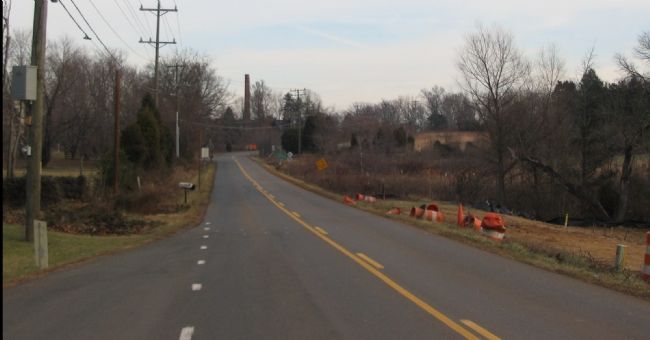
3. Mosby's Hasty Defense
On the high ground just short of the old Vint Hill Farm military base entrance, Mosby chose to turn on his pursuers and challenge them with his cannon. The smokestacks in the distance are those of the power plant for the old base complex.
Photographed By Craig Swain, January 5, 2008
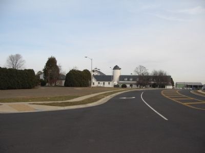
5. Vint Hill Farms
A location calling for a marker or at least better interpretation is the site of the old Army base at Vint Hill Farms. Initially established during World War II, the base was used at that time to intercept and monitor radio communications between Germany and Japan. During the Cold War the site was similarly used to monitor radio transmissions, to include those by spies operating within the United States. Intelligence information interpreted here found its way to decision makers in the Pentagon.
Credits. This page was last revised on June 16, 2016. It was originally submitted on January 6, 2008, by Craig Swain of Leesburg, Virginia. This page has been viewed 3,290 times since then and 46 times this year. Photos: 1, 2, 3, 4, 5. submitted on January 6, 2008, by Craig Swain of Leesburg, Virginia.
