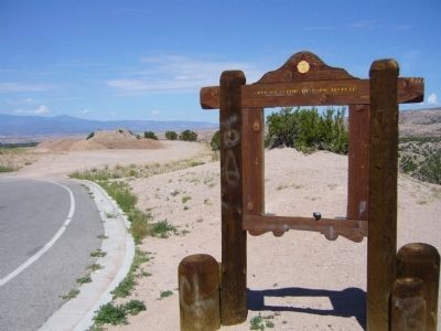
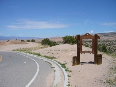
Near Chimayo in Rio Arriba County, New Mexico — The American Mountains (Southwest)
Cordova
Text of marker from: New Mexico Historic Preservation Division, Public Relations, Official Scenic Historic Markers
Erected by New Mexico Historic Preservation Division.
Topics. This historical marker is listed in this topic list: Settlements & Settlers. A significant historical year for this entry is 1750.
Location. Marker has been reported missing. It was located near 36° 0.335′ N, 105° 53.738′ W. Marker was near Chimayo, New Mexico, in Rio Arriba County. Marker was on State Road 76 at milepost 10.2,, 0.4 miles east of Cundiyo Road (State Road 503), on the right when traveling west. Touch for map. Marker was in this post office area: Chimayo NM 87522, United States of America. Touch for directions.
Other nearby markers. At least 8 other markers are within 10 miles of this location, measured as the crow flies. Chimayo (approx. 1.9 miles away); Santuario de Chimayó (approx. 2.4 miles away); Truchas (approx. 4.4 miles away); Truchas Peaks (approx. 5.7 miles away); The St. Francis Women's Club (approx. 8.1 miles away); Santa Cruz de la Cañada / Santa Cruz Plaza on the Camino Real (approx. 8.6 miles away); Esther Martinez - P’oe Tsáwäˀ (1912-2006) (approx. 9.7 miles away); San Gabriel (approx. 9.7 miles away). Touch for a list and map of all markers in Chimayo.
More about this marker. The text and map plates on the NM 76, milepost 10.2, marker were removed by the NMDOT District personnel due to vandals. The plates were graffiti so bad that they were not readable. NMDOT plans on ordering new text plates with anti-graffiti film.
Credits. This page was last revised on June 16, 2016. It was originally submitted on August 5, 2011, by Bill Kirchner of Tucson, Arizona. This page has been viewed 836 times since then and 70 times this year. Photos: 1, 2. submitted on August 5, 2011, by Bill Kirchner of Tucson, Arizona. • Bernard Fisher was the editor who published this page.
Editor’s want-list for this marker. Photos of the replacement marker when available. • Can you help?

