Near Cimarron in Colfax County, New Mexico — The American Mountains (Southwest)
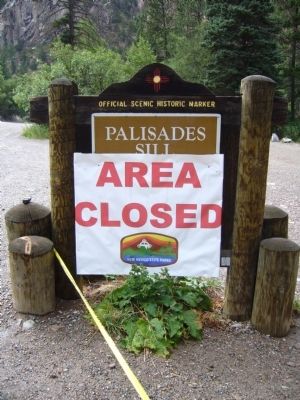
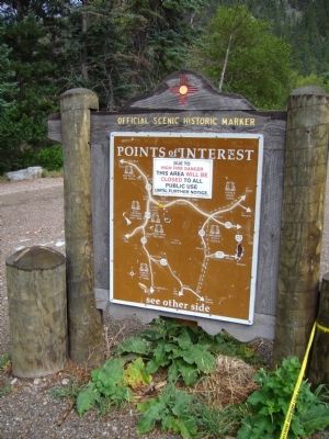
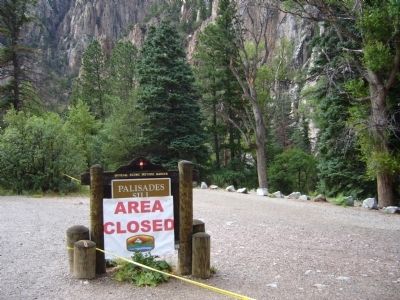
Palisades Sill
Text of marker from: New Mexico Historic Preservation Division, Public Relations, Official Scenic Historic Markers
Erected by New Mexico Historic Preservation Division.
Topics. This historical marker is listed in this topic list: Environment.
Location. 36° 32.245′ N, 105° 9.14′ W. Marker is near Cimarron, New Mexico, in Colfax County. Marker is on U.S. 64 at milepost 293.9,, 2.8 miles west of Hummingbird Lane, on the left when traveling east. Touch for map. Marker is in this post office area: Cimarron NM 87714, United States of America. Touch for directions.
Other nearby markers. At least 7 other markers are within 14 miles of this marker, measured as the crow flies. Cimarron Canyon State Park (approx. 1.8 miles away); Eagle Nest Lake State Park (approx. 4.7 miles away); Elizabethtown (approx. 6.4 miles away); Wheeler Peak (approx. 7.3 miles away); Cimarron Canyon (approx. 9 miles away); Vietnam Veterans National Memorial (approx. 10.2 miles away); Palo Flechado Pass (approx. 13.3 miles away).
Credits. This page was last revised on June 16, 2016. It was originally submitted on August 7, 2011, by Bill Kirchner of Tucson, Arizona. This page has been viewed 1,295 times since then and 100 times this year. Photos: 1, 2, 3. submitted on August 7, 2011, by Bill Kirchner of Tucson, Arizona. • Bernard Fisher was the editor who published this page.


