Near North Vernon in Jennings County, Indiana — The American Midwest (Great Lakes)
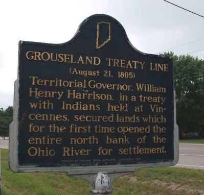
Grouseland Treaty Line
(August 21, 1805)
Territorial Governor, William Henry Harrison, in a treaty with Indians held at Vincennes, secured lands which for the first time opened the entire north bank of the Ohio River for settlement.
Erected 1966 by Indiana Sesquicentennial Commission. (Marker Number 40.1966.1.)
Topics and series. This historical marker is listed in these topic lists: Native Americans • Settlements & Settlers. In addition, it is included in the Former U.S. Presidents: #09 William Henry Harrison, and the Indiana Historical Bureau Markers series lists.
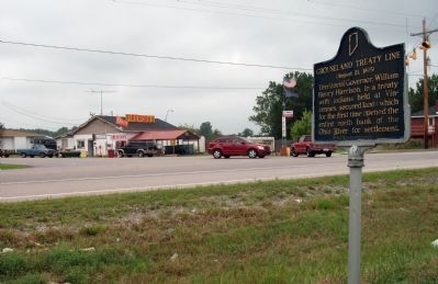
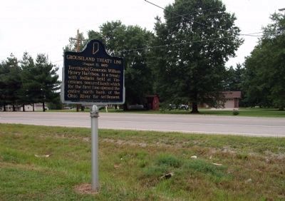
Location. 39° 3.798′ N, 85° 41.903′ W. Marker is near North Vernon, Indiana, in Jennings County. Marker is at the intersection of State Road 7 and County Road W500N, on the right when traveling north on State Road 7. Touch for map. Marker is at or near this postal address: 4710 W County Road 500 N, North Vernon IN 47265, United States of America. Touch for directions.
Other nearby markers. At least 8 other markers are within 8 miles of this marker, measured as the crow flies. Kellar Grist Mill (approx. 4.8 miles away); Pat O’Connor (approx. 5 miles away); Walnut Grove One-room School 1913 (approx. 6.7 miles away); Muscatatuck Park (approx. 6.7 miles away); Morgan's Raid (approx. 7.2 miles away); Vernon Historic District (approx. 7.2 miles away); a different marker also named Morgan's Raid (approx. 7.3 miles away); New Survey Markers Set (approx. 7.3 miles away). Touch for a list and map of all markers in North Vernon.
Credits. This page was last revised on June 16, 2016. It was originally submitted on August 9, 2011, by Al Wolf of Veedersburg, Indiana. This page has been viewed 732 times since then and 21 times this year. Photos: 1, 2, 3. submitted on August 9, 2011, by Al Wolf of Veedersburg, Indiana. • Bernard Fisher was the editor who published this page.


