North Columbia in Nevada County, California — The American West (Pacific Coastal)
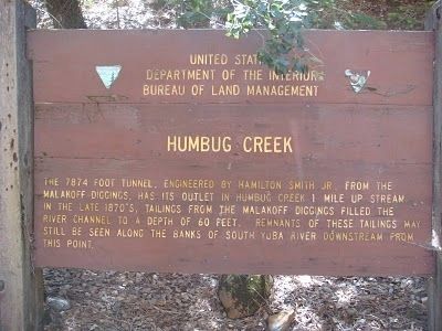
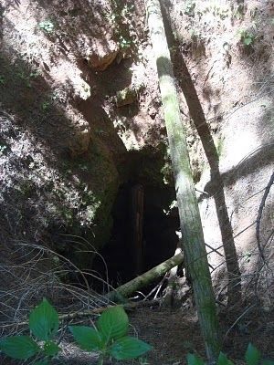
Humbug Creek
Erected by United States Department of the Interior, Bureau of Land Management.
Topics. This historical marker is listed in these topic lists: Industry & Commerce • Natural Resources.
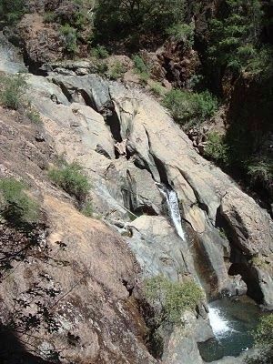
Location. 39° 20.3′ N, 120° 55.926′ W. Marker is in North Columbia, California, in Nevada County. Marker is on North Bloomfield Road. The Humbug Creek marker is accessed via the Humbug Trail. The trail is 2.7 miles long and descends 800 feet to the South Yuba River. Touch for map. Marker is in this post office area: Nevada City CA 95959, United States of America. Touch for directions.
Other nearby markers. At least 8 other markers are within 3 miles of this marker, measured as the crow flies. Site of Lake City (approx. 1˝ miles away); Nevada City Road - Leaving Washington Ridge (approx. 1.9 miles away); North Bloomfield Drain Tunnel (approx. 2 miles away); North Bloomfield Mining and Gravel Company (approx. 2.3 miles away); Julius Albert Apperson (approx. 2.4 miles away); St. Columncille's Church (approx. 2˝ miles away); North Bloomfield School (approx. 2˝ miles away); Malakoff Diggins Clampicnic Area (approx. 2.6 miles away). Touch for a list and map of all markers in North Columbia.
Regarding Humbug Creek. See Nearby Marker North Bloomfield Drain Tunnel for additional information.
Also see . . . The North Bloomfield Mining and Gravel Company - Wikipedia. (Submitted on August 10, 2011, by Barry Swackhamer of Brentwood, California.)
Credits. This page was last revised on November 10, 2020. It was originally submitted on August 10, 2011, by Barry Swackhamer of Brentwood, California. This page has been viewed 752 times since then and 43 times this year. Photos: 1, 2, 3, 4. submitted on August 10, 2011, by Barry Swackhamer of Brentwood, California. • Syd Whittle was the editor who published this page.


