Abingdon in Washington County, Virginia — The American South (Mid-Atlantic)
Revolutionary War Muster Ground
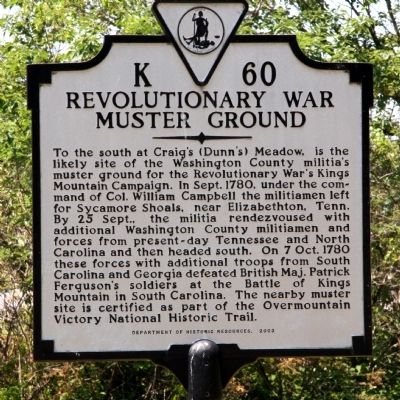
Photographed by J. J. Prats, May 29, 2011
1. Revolutionary War Muster Ground Marker
Erected 2003 by Department of Historic Resources. (Marker Number K-60.)
Topics and series. This historical marker is listed in this topic list: War, US Revolutionary. In addition, it is included in the Virginia Department of Historic Resources (DHR) series list. A significant historical month for this entry is September 1780.
Location. 36° 42.261′ N, 81° 59.691′ W. Marker is in Abingdon, Virginia,
this page online

Regionally, this marker is in the Tri-Cities Area, in Southwest Virginia, and in the Blue Ridge Highlands. It is also in the American South, specifically in the Upper South, in Appalachia, and specifically in Southern Appalachia. Globally, it is in North America, the Western Hemisphere, the Western World, and the Anglosphere. Historically, it finds itself in what was once the territory of the Mississippian Culture, one of the original Thirteen Colonies, one of the Confederate States of America, and the Antebellum South.
Other nearby markers. At least 8 other markers are within walking distance of this marker: Battle of Kings Mountain (within shouting distance of this marker); The Chase Begins (within shouting distance of this marker); Inciting Deadly Resistance (within shouting distance of this marker); Brigadier General William Edmondson “Grumble” Jones, CSA Rock (within shouting distance of this
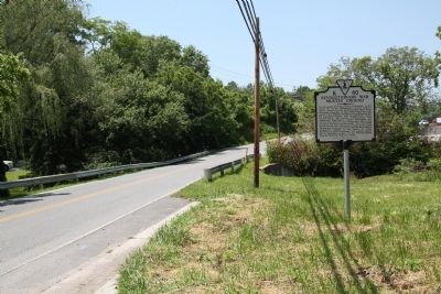
Photographed by J. J. Prats, May 29, 2011
2. Revolutionary War Muster Ground Marker
Related marker. Click here for another marker that is related to this marker. To better understand the relationship, study the marker shown.
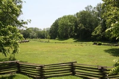
Photographed by J. J. Prats, May 29, 2011
3. Craig’s (Dunn’s) Meadow
Credits. This page was last revised on February 2, 2023. It was originally submitted on August 20, 2011, by J. J. Prats of Powell, Ohio. This page has been viewed 1,427 times since then and 51 times this year. Photos: 1, 2, 3. submitted on August 20, 2011, by J. J. Prats of Powell, Ohio.
