Beatty in Nye County, Nevada — The American Mountains (Southwest)
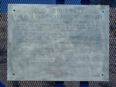
Old Boundary
Nevada's Southern Boundary 1861 -1867
Photographed by Thomas Chris English, August 14, 2011
1. Old Boundary Marker
The 37th Degree North Latitude is marked at this point as the dividing line between the territories of Utah and New Mexico under the provisions of the Compromise of 1850 which originally organized the land ceded by Mexico in 1848.
When the Territory of Nevada was carved from western Utah in 1861, this line became the southern boundary of the new territory and continued to serve as such when the territory and state were enlarged by extensions to the east in 1862 and 1866, respectively.
In 1867, the Nevada Legislature approved the action of Congress to add that portion of the territory of Arizona which lay to the south of this line west of the 114 West Longitude and the Colorado River, and to the east of the boundary to California. This action, taken on January 18, 1867, gave the State of Nevada the permanent boundaries as they are today.
Erected 1999 by State Historic Preservation Office, Southern Nevada Historical Society. (Marker Number 57.)
Topics. This historical marker is listed in this topic list: Political Subdivisions. A significant historical month for this entry is January 1850.
Location. 37° 0.116′ N, 116° 43.551′ W.
this page online

Regionally, this marker is in the Mojave Desert and in Central Nevada. It is also in the American Southwest and in the Mountain West. Globally, it is in North America, the Western Hemisphere, the Western World, and the Anglosphere. Historically, it finds itself in what was once New Spain and also Mexico’s Alta California.
Other nearby markers. At least 8 other markers are within 9 miles of this marker, measured as the crow flies: Beatty (approx. 6.8 miles away); 1921 Fordson Tractor (approx. 6.9 miles away); Desert Hills Cemetery (approx. 7.3 miles away); Rhyolite Train Depot (approx. 8.9 miles away); Miner's Cabin (approx. 8.9 miles away); Red-Light District (approx. 9 miles away); Mona Bell's Grave (approx. 9 miles away); Rhyolite Jail (approx. 9 miles away). Touch for a list and map of all markers in Beatty.
Related marker. Click here for another
Photographed by Thomas Chris English, August 14, 2011
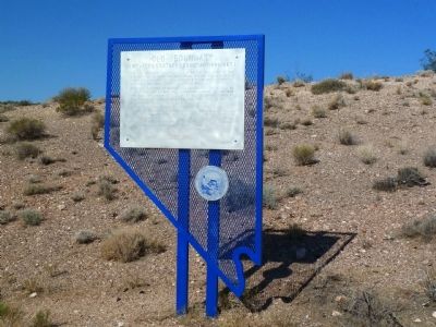
2. Old Boundary Marker
and the view west from the marker.
Also see . . . 1866 Johnson Map of California, Colorado, Arizona, New Mexico, Nevada and Utah. A cartographic image of the California, Nevada, Arizona and Utah boundaries in 1866. (Submitted on August 23, 2011, by Chris English of Phoenix, Arizona.)
Photographed by Thomas Chris English, August 14, 2011
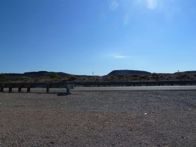
3. Nye County Old Boundary Marker - The View East
Photographed by Thomas Chris English, August 14, 2011
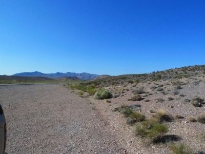
4. Nye County Old Boundary Marker, The View South
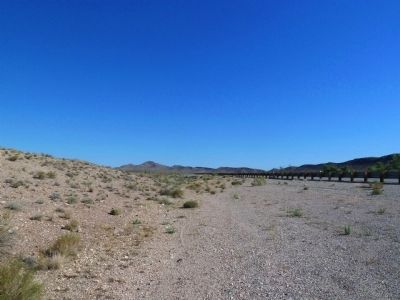
Photographed by Thomas Chris English, August 14, 2011
5. Nye County Old Boundary Marker, the View North
Credits. This page was last revised on December 22, 2020. It was originally submitted on August 22, 2011, by Chris English of Phoenix, Arizona. This page has been viewed 917 times since then and 44 times this year. Photos: 1, 2, 3, 4, 5. submitted on August 22, 2011, by Chris English of Phoenix, Arizona. • Syd Whittle was the editor who published this page.
