Harrodsburg in Mercer County, Kentucky — The American South (East South Central)
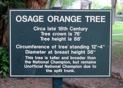
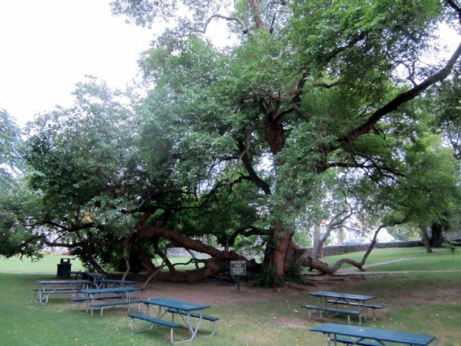
Osage Orange Tree
Tree crown is 76’
Tree height is 88’
Circumference of tree standing 12’-4”
Diameter at breast height 56”
This tree is taller and broader than
the National Champion, but remains
Unofficial National Champion due to
the split trunk.
Topics. This historical marker is listed in this topic list: Horticulture & Forestry.
Location. 37° 45.7′ N, 84° 50.792′ W. Marker is in Harrodsburg, Kentucky, in Mercer County. Marker can be reached from South College Street (U.S. 127) south of West Lexington Street, on the right when traveling south. Located in Old Fort Harrod State Park. Touch for map. Marker is at or near this postal address: 100 South College Street, Harrodsburg KY 40330, United States of America. Touch for directions.
Other nearby markers. At least 8 other markers are within walking distance of this marker. The Mansion of the Pioneer Memorial State Park (within shouting distance of this marker); The Lincoln Move to the Frontier (within shouting distance of this marker); Lincoln Marriage Temple (within shouting distance of this marker); The Lincoln Marriage Cabin (within shouting distance of this marker); Bowman Memorial Gate (about 300 feet away, measured in a direct line); Fort Harrod (about 300 feet away); Pioneer Graveyard (about 400 feet away); James Harrod (about 400 feet away). Touch for a list and map of all markers in Harrodsburg.
Credits. This page was last revised on November 4, 2020. It was originally submitted on August 26, 2011, by Bernard Fisher of Richmond, Virginia. This page has been viewed 2,102 times since then and 163 times this year. Photos: 1, 2. submitted on August 26, 2011, by Bernard Fisher of Richmond, Virginia.

