Lariat Loop Byway: Buffalo Bill Museum
•The Lariat Loop is a scenic circle of natural splendors, historic and cultural treasures and recreation pleasures. See spectacular mountain scenery and enjoy a vintage auto tour in foothills canyons. Welcome to 40 miles of fun.
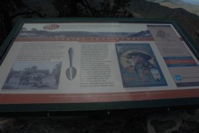
Lariat Loop Byway: Buffalo Bill Museum •When William F. “Buffalo Bill” Cody visited Lookout Mountain park, he was impressed by the view of mountains and plains. He told his wife Louisa, daughter Irma, foster son Johnny Baker, and others that he would like to be buried up here. After his death in 1917, his family had him buried in Lookout Mountain Park in accordance with his wishes. Cody’s gravesite soon became a popular destination. In 1921 Johnny Baker opened a museum, gift shop and restaurant in a building he called “Pahaska Tepee.” Pahaska, meaning “Long Hair,” had been the Lakota nickname for Buffalo Bill.
Johnny Baker’s museum contained many artifacts that had belonged to Buffalo Bill, as well as posters and other materials Baker collected over the thirty years he performed with Buffalo Bill’s Wild West. Friends of Buffalo Bill, former
this page online
Interpretive panels were funded in part by the Federal Highway Administration, Denver Mountain Parks Foundation, and the Scientific and Cultural Facilities District.
Last picture assigned 3047
Topics. This historical marker is listed in this topic list: Notable Buildings. A significant historical year for this entry is 1917.
Location. 39° 43.985′ N, 105° 14.319′ W. Marker is near Golden, Colorado, in Jefferson County. It is in Lakota Hills. It is on Lariat Loop Road. Marker is at parking lot of the Buffalo Bill Museum. Touch for map. Marker is in this post office area: Golden CO 80401, United States of America. Touch for directions.
Regionally, this marker
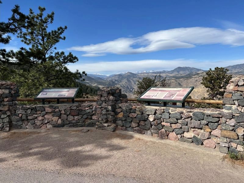
Other nearby markers. At least 8 other markers are within walking distance of this marker: Lariat Loop Byway: Denver Mountain Parks (here, next to this marker); Who Was Buffalo Bill? (here, next to this marker); Buffalo Bill's Grave — Frequently Asked Questions (within shouting distance of this marker); Buffalo Bill's Grave — Why is Buffalo Bill Buried Here? (within shouting distance of this marker); Buffalo Bill (within shouting distance of this marker); Our Changing Landscape-From Sea Floor to Mountain Top (within shouting distance of this marker); What You Can See From Here Today (within shouting distance of this marker); Windy Saddle Park / Connecting to the Past (approx. 0.4 miles away). Touch for a list and map of all markers in Golden.
Another marker is no longer nearby. In Memory of Charles E. Kirk (was within shouting distance of this marker but has been confirmed missing).
Credits. This page was last revised on November 18, 2025. It was originally submitted on August 27, 2011, by Charles T. Harrell of Woodford, Virginia. This page has been viewed 983 times since then and 38 times this year. Photos: 1. submitted on August 27, 2011, by Charles T. Harrell of Woodford, Virginia. 2. submitted on October 31, 2025, by Leslie Eudy of Golden, Colorado. • Bill Pfingsten was the editor who published this page.
