Dallas Downtown Historic District in Dallas County, Texas — The American South (West South Central)
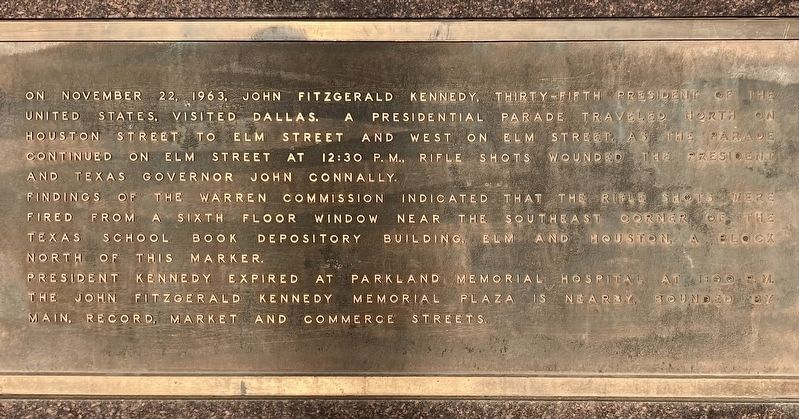
Kennedy Assassination Route
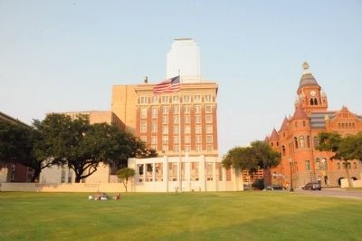
Findings of the Warren Commission indicated that the rifle shots were fired from a sixth floor window near the southwest corner of the Texas School Book Depository Building, Elm and Houston, a block north of this marker.
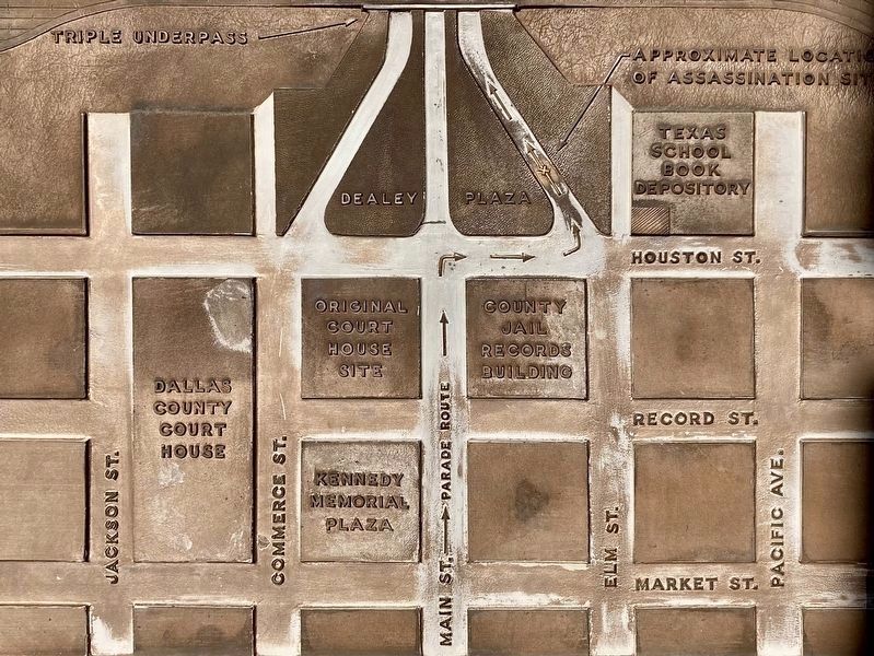
President Kennedy expired at Parkland Memorial Hospital at 1:00 P.M. The John Fitzgerald Kennedy Memorial plaza is nearby, bounded by Main, Record, Market and Commerce Streets.
Topics and series. This historical marker is listed in this topic list: Government & Politics. In addition, it is included in the Former U.S. Presidents: #35 John F. Kennedy series list. A significant historical date for this entry is November 22, 1963.
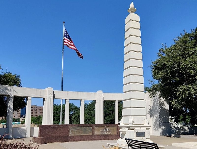
Location. 32° 46.737′ N, 96° 48.49′ W. Marker is in Dallas, Texas, in Dallas County. It is in the Dallas Downtown Historic District. Marker is at the intersection of N. Houston Street (State Highway 354) and Main Street, on the right when traveling south on N. Houston Street. Marker is located in Dealey Plaza, the site of the John F. Kennedy assassination on November 22, 1963. Touch for map. Marker is in this post office area: Dallas TX 75202, United States of America. Touch for directions.
Other nearby markers. At least 8 other markers are within walking distance of this marker. Dealey Plaza (here, next to this marker); Welcome to Dealey Plaza (within shouting distance of this marker); Dealey Plaza National Historic Landmark (within shouting distance of this marker); Dallas County Criminal Courts Building (within shouting distance of this marker); a different marker also named Welcome to Dealey Plaza (within shouting distance of this marker); John Neely Bryan and Margaret Beeman Bryan (within shouting distance of this marker); The Grassy Knoll (within shouting distance of this marker); Abraham Zapruder (within shouting distance of this marker). Touch for a list and map of all markers in Dallas.
Related markers. Click here for a list of markers that are related to this marker. These markers, mentioned in the text, are for the Texas School Book Depository Building and the John F. Kennedy Memorial respectively.
Also see . . .
1. Dealey Plaza. Mary Ferrell Foundation website concerning the Kennedy Assassination. (Submitted on January 10, 2008, by Kevin W. of Stafford, Virginia.)
2. Wikipedia entry for Dealey Plaza. (Submitted on January 10, 2008, by Mike Stroud of Bluffton, South Carolina.)
Credits. This page was last revised on April 17, 2024. It was originally submitted on January 10, 2008, by Mike Stroud of Bluffton, South Carolina. This page has been viewed 7,807 times since then and 63 times this year. Photos: 1. submitted on April 14, 2024, by Craig Baker of Sylmar, California. 2. submitted on January 10, 2008, by Mike Stroud of Bluffton, South Carolina. 3. submitted on June 14, 2011, by Kevin W. of Stafford, Virginia. 4. submitted on April 14, 2024, by Craig Baker of Sylmar, California. 5. submitted on April 15, 2024, by Craig Baker of Sylmar, California. 6. submitted on January 11, 2008, by Kevin W. of Stafford, Virginia. 7. submitted on June 14, 2011, by Kevin W. of Stafford, Virginia. • Kevin W. was the editor who published this page.
