Historic District in St. Augustine in St. Johns County, Florida — The American South (South Atlantic)
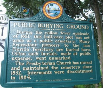
Public Burying Ground
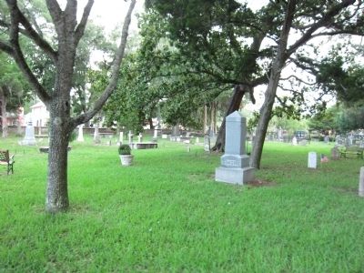
The Presbyterian Church has owned and maintained the cemetery since 1832. Interments were discontinued in 1884.
Erected 1964 by St. Johns County Historical Commission. (Marker Number F-117.)
Topics. This historical marker is listed in this topic list: Cemeteries & Burial Sites. A significant historical year for this entry is 1821.
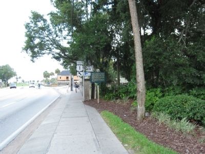
Location. 29° 53.899′ N, 81° 18.835′ W. Marker is in St. Augustine, Florida, in St. Johns County. It is in the Historic District. Marker is on North Ocean Boulevard (State Road A1A), on the right when traveling south. Touch for map. Marker is at or near this postal address: 10 San Marco Ave, Saint Augustine FL 32084, United States of America. Touch for directions.
Other nearby markers. At least 8 other markers are within walking distance of this marker. Huguenot Cemetery (a few steps from this marker); Old Spanish Trail Zero Milestone (within shouting distance of this marker); Safe Haven / Refugio seguro (within shouting distance of this marker); St. Augustine Civic Center (within shouting distance of this marker); Fuente de los Caños de San Francisco (within shouting distance of this marker); This Gate Opened in 1739 (within shouting distance of this marker); a different marker also named The Huguenot Cemetery (within shouting distance of this marker); The City Gate (within shouting distance of this marker). Touch for a list and map of all markers in St. Augustine.
Credits. This page was last revised on January 2, 2019. It was originally submitted on August 31, 2011, by Craig Swain of Leesburg, Virginia. This page has been viewed 710 times since then and 20 times this year. Photos: 1, 2, 3. submitted on August 31, 2011, by Craig Swain of Leesburg, Virginia.


